
After more than a year of staying at home, it was a welcome relief to see something beyond the blue walls of my house and the well-trodden paths to Costco and Walmart. We drove to Bend, Oregon to spend an extended weekend there. We stayed there for 2 nights and traveled to Painted Hills, Crater Lake National Park, Wildlife safari and Smith Rock State Park.
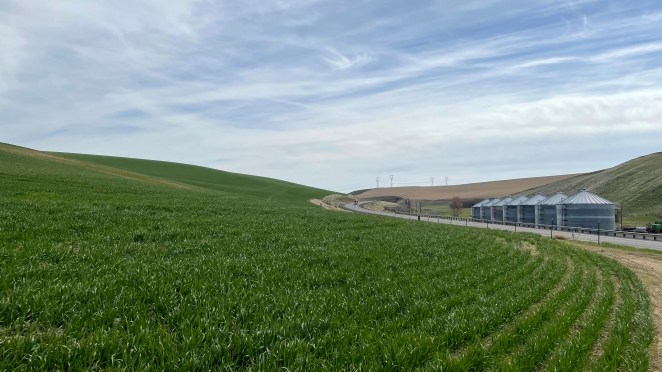
It was a much-needed getaway to lay back, unwind and reboot. We didn’t have any big plans on the trip; we just wanted to go with the flow. What it had in abundance, though, was drive. Drive through vast expanse of verdant grasslands dotted with massive windmills, ancient, fossilized soils narrating a story of earth’s colorful past, violent volcanoes forming calderas and spire like tuffs. When I was back home, the odometer of my car showed an uptick of 1470 miles in 3 days. Now this was something!
Our itinerary was as follows:
Day 1: Drive from Redmond to Bend via Painted Hills. Stay at Bend.
Day 2: Visit Crater Lake National Park and Wildlife Safari.
Day 3: Do a hike at Smith Rock State Park and return to Redmond via Portland.
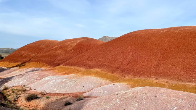
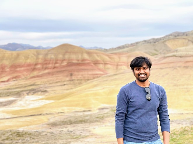
Painted hills, April 2nd 2021
John Day Fossil Beds National Monument has 3 units – Clarno unit, Painted Hills unit and Sheep rock unit. This place is a treasure trove for paleontologists who spend hours in this dry arid place to uncover the truths of the past. Our sojourn was limited to Painted Hills only. We didn’t have time for the other two units.
But what are these Painted Hills, and why are they as such? The fossilized soil, aka paleosols, of this place has a story to tell. In soil science, paleosols are soils formed long ago that have no relationship in their chemical and physical characteristics to the present-day climate or vegetation. About 30 million years ago, eastern Oregon was a place with lush green tropical forests with plenty of rain. It had rivers and wetlands dotted with volcanoes. Their iron-rich soil was red in color due to oxidation. Gradually the climate changed. Warm and wet tropical rainforests gave way to a dry and cooler climate. The red iron-rich soil was enveloped by yellow colored soil. This fluctuating environment repeated itself over millions of years – from wet to dry and wet again. Subsequent erosion exposed the layers of fossilized soil forming the Painted Hills of today. The red layer represents climate which was wet and warm, the yellow layer represents climate which was dry and cool while the black streaks in between depict the deposits of concentrated manganese. Fossils found in these distinct layers reveal a lot about the age of mammals and plants.
At some places there is also a layer of lavender gray. This lavender-gray layer is the highly weathered remains of rhyolitic lava flow. It is considered to be part of the Clarno formation – an older rock layer buried under the Painted Hills.

The group – Raj, Mansa, Naveen and Chitte

Driving through verdant grasslands with distant snow-capped mountain in view
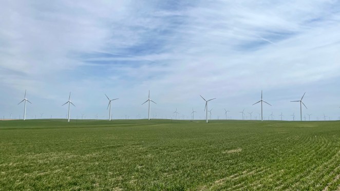
Massive windmills of Yakima

With Raj

With Chitte

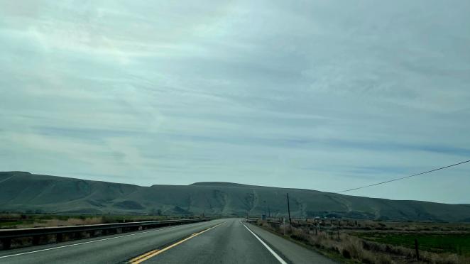
Landscape gradually changing to dull and arid


Painted Hills: Elephant foot formations enveloped by the layers of red, yellow and green suede

Painter’s palette indeed
The lavender gray layer buried under Painted Hills
Crater Lake National Park & Wildlife Safari, April 3rd 2021
For thousands of years Mount Mazama nurtured a fierce turbulent hot lava beneath its surface. About 7700 years ago, violent activity beneath its surface grew uncontrollably high and led to a massive volcanic eruption. So massive that the magma chamber of 12000-feet high Mount Mazama nearly emptied, and it imploded under its weight. The resulting caldera led to the formation of the deepest lake in the US. Crater Lake is 8 KM wide and 1.6 KM deep. But the story didn’t end here. The volcano kept erupting formed Wizard Island and Merriam Cone. This lake is fed by rainwater and melted snow. Crater Lake is famous not just because of its history and geology but also due to its pristine blue water. The water is extremely clear due to the fact that there are no other rivers feeding into the lake and pollution cannot get in. Rainfall and melted snow are truly the only sources of the lake.

Crater Lake with Wizard Island

Thanks to Mansa, we were travelling with a rice cooker and many ready-to-mix spices. We had nice Puliogare (tamarind rice) for our lunch in the car before we headed to Wildlife Safari in Winston, Oregon. It is an open 600 acres park where animals roam freely, and guests can drive through in their car. Some dangerous animals like lions, tigers, cheetahs, and others were in cages for visitors’ safety. Others like giraffes, zebras, ostriches, and many others roam freely. We spent about 2 hours inside the Wildlife Safari and then headed back to Bend to retire for the day.
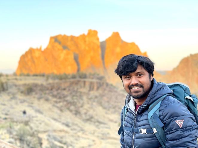
Smith Rock State Park, April 4th 2021
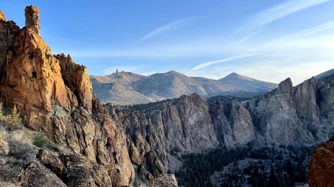
This place is a work of beauty by mother nature. Right from the parking lot, one can see spire-like tuffs towering over the Crooked river. Smith Rock State Park of today is also a result of volcanic eruptions, not one but two (or probably more). A major eruption happened about 30 million years ago which formed the Crooked River caldera, a crater 29 miles-wide. The collapse of the magma chamber sent up a surge of pyroclastic flows, white hot clouds of glass rock and gas. The flows eventually lost heat and became ash-flow tuffs, the pink rhyolite of Smith Rock. Rhyolite is the most silica rich volcanic rock. Wind and water cut through these hardened volcanic ashes resulting in the spectacular spires of today. Later, the fluid basalt flows from other eruption pushed the Crooked River to the base of the Smith Rock.
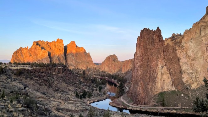
Spired tuffs of Smith Rock towering over the Crooked river. Notice the basalt columns in the middle.

Basalt flow from subsequent eruptions pushed Crooked river towards the Smith Rock spires.
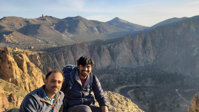
We reached there quite early, around sunrise. In hindsight, this was a good decision for two reasons. First, finding a parking spot is not an easy task here. We witnessed a stream of hikers arriving at the park on our way back. Second, it becomes quite hot as the sun comes over the head. So, it was a good decision to start and finish early. We hiked the popular Misery Ride trail which was about 2.2 miles but with a significant elevation gain that reached 3300 feet at the summit.
The landscape here was quite different. As opposed to sylvan, rain-drenched climate Puget Sound, this place was dry, dusty and yellow. Trails were frail with many lose rocks. I think it could be because of the rhyolite which are silica-rich volcanic rocks.

Trailhead
Sun-kissed tuffs

On my way

Some treacherous curves

With Naveen
With Raj
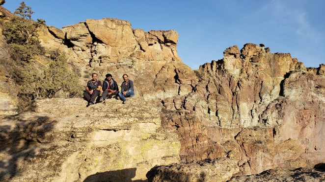
3 of us
View from the summit

Monkey face: a monolithic tower frequented by gusty rock climbers who test their skills here

Hahaha

We were done with hike by 9.30 AM after which we went back to hotel and checked out. On our way back home, we drove via Portland spending a couple of hours at Woodburn Outlet.
Overall it was a short and sweet trip. As they say, we took back many memories, leaving only footprints behind.
