
It was raining cats and dogs in Seattle on the weekend of June 15th. But I wanted to go out with Maa Papa somewhere outside. I thought of some local Seattle’s indoor attractions, but it didn’t work out. So, this is when I thought of testing the Cascade rain shadow effect and taking a weekend trip to Eastern Washington.
What is the rain shadow effect?
Rain shadow is an area of significantly low rainfall behind a mountainous region. Moisture-laden air from the Pacific Ocean is made to rise up due to Cascade mountains. The rising air cools, condenses and falls as precipitation. Most of the moisture is lost and what reaches the leeward side is dry, warm air. That’s why eastern Washington which is on the other side of Cascade range receives very less rainfall.

Itinerary at a glance
Link to Google maps – https://maps.app.goo.gl/TPxFnR6wAuV7vkjG8

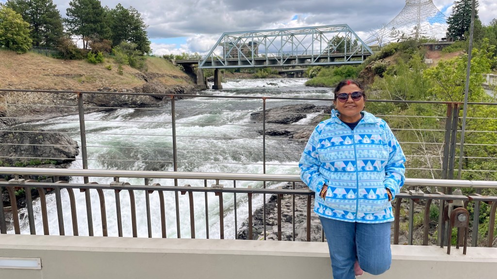
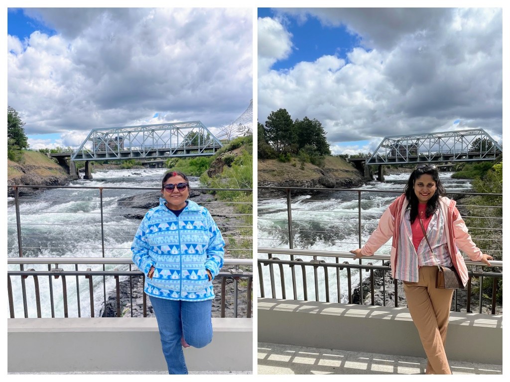
Snoqualmie falls, June 15th 2024
We started with Snoqualmie falls which is 30 minutes’ drive from my home. It is an 82 meters high (270 feet) waterfall which is the source of Snoqualmie Falls Hydroelectric Plant. The power plant is owned by Pugent Sound Energy and contributes to 1% of PSE sales. Envisioned by Charles H Baker in 1890s, this plant has a capacity of about 54 MW which can easily power 40,000 homes.

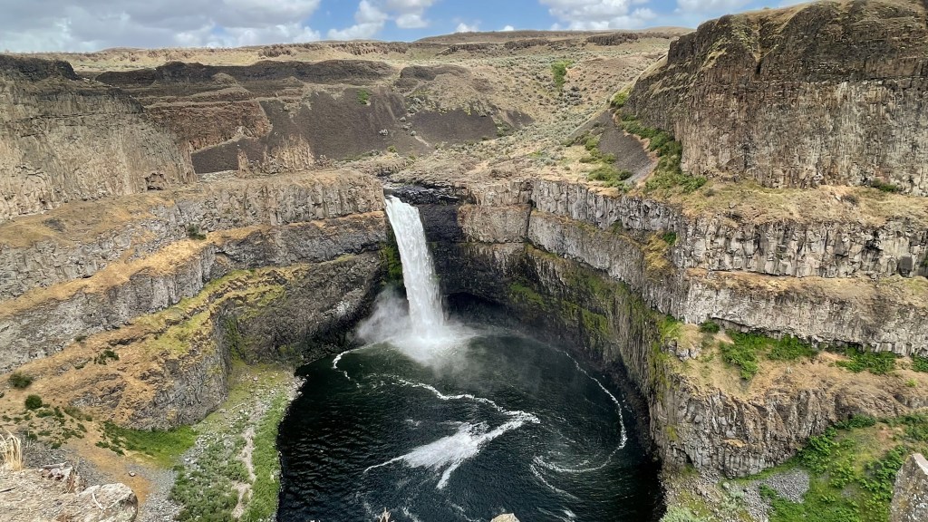
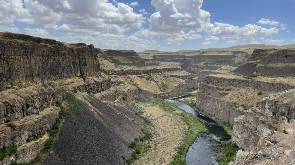
Palouse Fall, June 15th 2024
Palouse Fall is a waterfall on eponymous river. Standing at 60 meters height (200 feet), this fall is part of a state park which protects this unique scenic area. It is the official waterfall of the state of Washington. Palouse Falls is among many unique landscapes of eastern Washington that owe its existence of a cataclysmic pre-ancient event: Missoula floods.
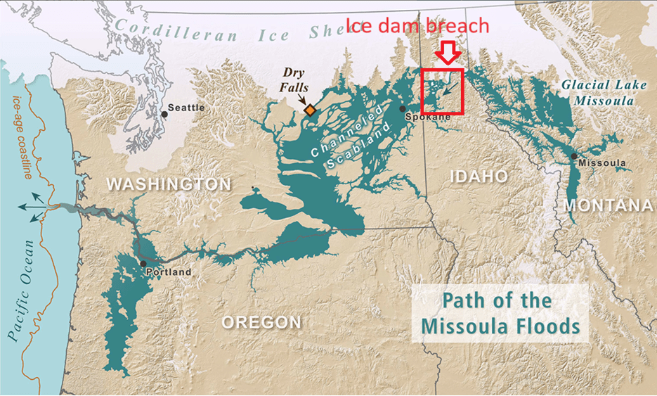
Missoula floods: why Palouse Fall exist
During the last ice age about 15000 years ago, a huge pre-ancient glacial lake formed around the place where the present-day town of Missoula (Montana) exists. This lake was bordered by a huge wall of ice around present day Clark Fork (Idaho). Lake Missoula was huge – half the volume of Lake Michigan. Over thousands of years, due to pressure from the waters of the Lake Missoula, the ice dam near Clark Fork ruptured. This led to cataclysmic floods which was caused due to Lake Missoula getting emptied in only 48 hours. The massive force of water formed huge canyons and coulees (drainage zone) in Eastern Washington before falling into Pacific Ocean. This repeated for more than 25 times for 2000 years between 15000 and 13000 years back leading to the formation of channeled scablands of eastern Washington. Hence the name – Missoula floods (with an extra ‘s’). The largest channel of all, which carried that largest amount of water was the Grand Coulee. Coulee is a large, steep-walled, trench-like trough formed by erosion as water passed over the basalt rock formations.
Now, another question arises – usually it takes thousands of years to carve rocks (remember Grand Canyon!) but how did a flood, although massive, was able to do so much damage in just a couple of days? It was because this landscape was formed of basalt rocks formed due to another flood – a massive flow of lava due to volcanic eruption happened 15 million years ago. The hot lava when cooled immediately it contracted and led to formation of hexagonal basalt columns which were full of fractures. So, when Missoula floods happened these fractured basalt columns were ready to be swept away.
I found this video super helpful to develop this understanding – The Unbelievable Story of Earth’s Most Epic Flood (youtube.com).

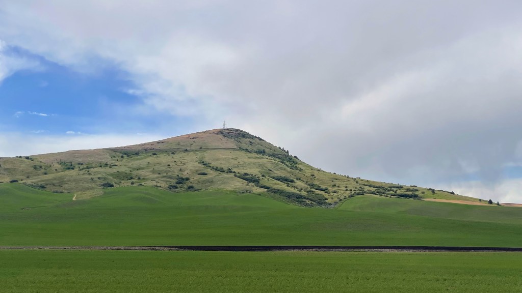
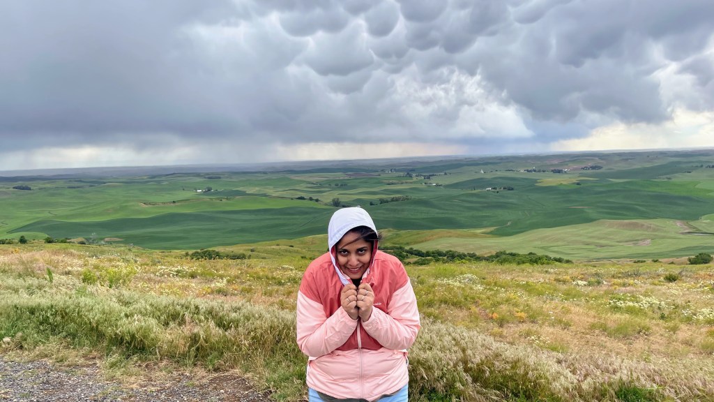
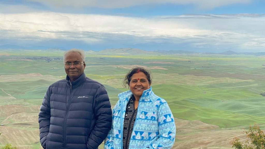
Steptoe butte state park, June 15th 2024
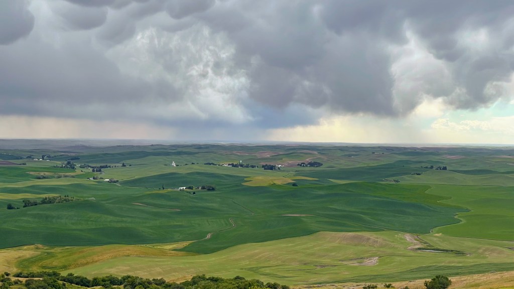
Steptoe Butte is an 1100 meters high (3600 feet) hill jutting out of undulated Palouse farmlands. The humungous force of Missoula floods deposited huge amounts of silt in this area. As wind blew for thousands of years, it led to the formation of undulated rolling landscape that we see today.
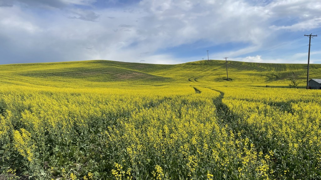
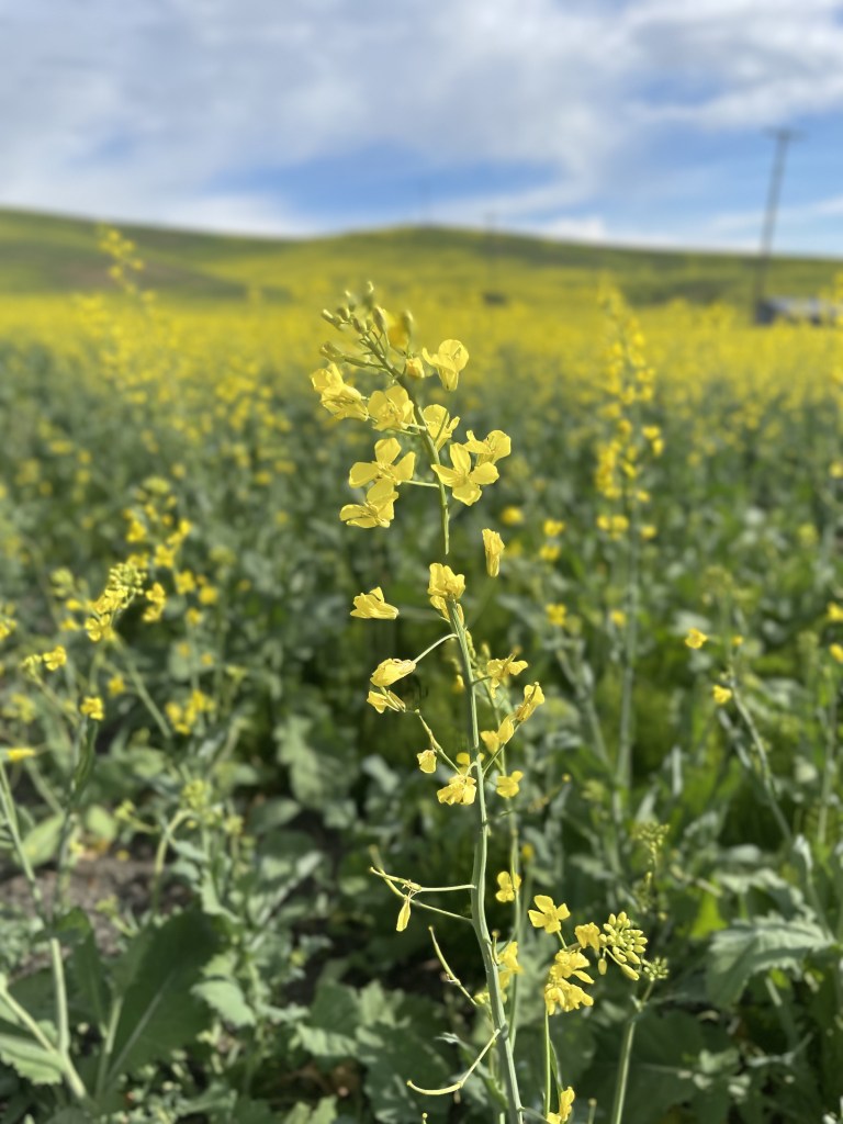
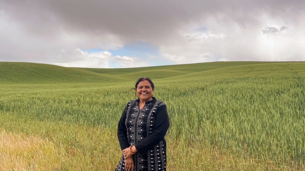
There is a paved road that takes you to the top of the Steptoe Butte which provides an unobstructed view of the vast expanse of this rippled landform. For miles and miles, all you can see is soft wavy hills carpeted with green wheatfields dotted with occasional barns showing some human presence which this area is otherwise devoid of. Some of the hills in the Palouse are steep enough to cause tractors and combine to tip over. Dryland farming requires the land to be plowed along the contours of the hills, not straight up and down the slopes. Besides the shades of green, there were also yellow rapeseed fields. Rapeseeds are used to produce Canola Oil which is used in North America as an alternative to Mustard Oil.


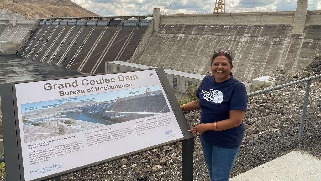
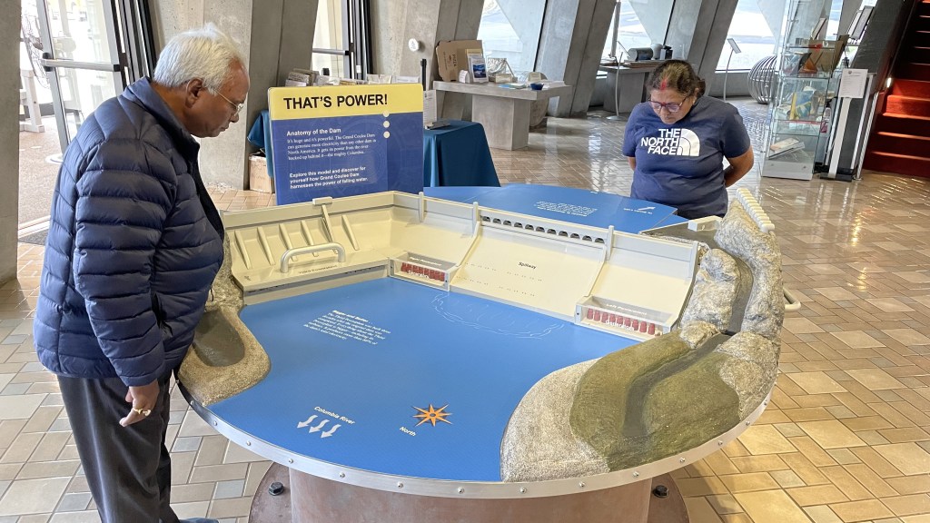
Grand Coulee Dam, June 16th 2024
Colombia river originates in Rocky Mountains of British Columbia, Canada. It travels south in the state of Washington and then turns westward along the border of Washington and Oregon before emptying into the Pacific Ocean. Grand Coulee Dam is a concrete gravity dam built on Columbia River when it flows southward in the state of Washington. Constructed between 1933 to 1942 and expanded further in 1974, this is the largest power station in US with capacity of 6,809 MW (contrast this with Snoqualmie hydroelectric plant mentioned above).
How much is 6.8 billion watts of power?
In his book How to Avoid a Climate Disaster, Bill Gates gives a rough estimate of how to think of electricity needs. An American home on average needs 1 kilowatt, a small town needs 1 megawatt, a mid-size city needs 1 gigawatt while a country may need up to 1000 gigawatt of power.
So, you can assume that Grand Coulee Dam generates enough power to electrify six to seven mid-size cities of the US. This dam was built as part of “New deal” by President Franklin D Roosevelt at the time of great depression to generate employment. The reservoir of the dam is named in his honor. Initially, people had skepticism about the utility of this dam. But when World War 2 broke out, the electricity produced by this massive dam formed the backbone of aluminum industry which was used by Boeing to produce war planes.
Standing at a height of 160 meters (550 feet), Grand coulee dam is huge. It is estimated that the amount of concrete used in building this dam is equivalent to building a highway between Seattle and Miami.
See this video to understand a bit about dams – How a Dam Works (youtube.com).


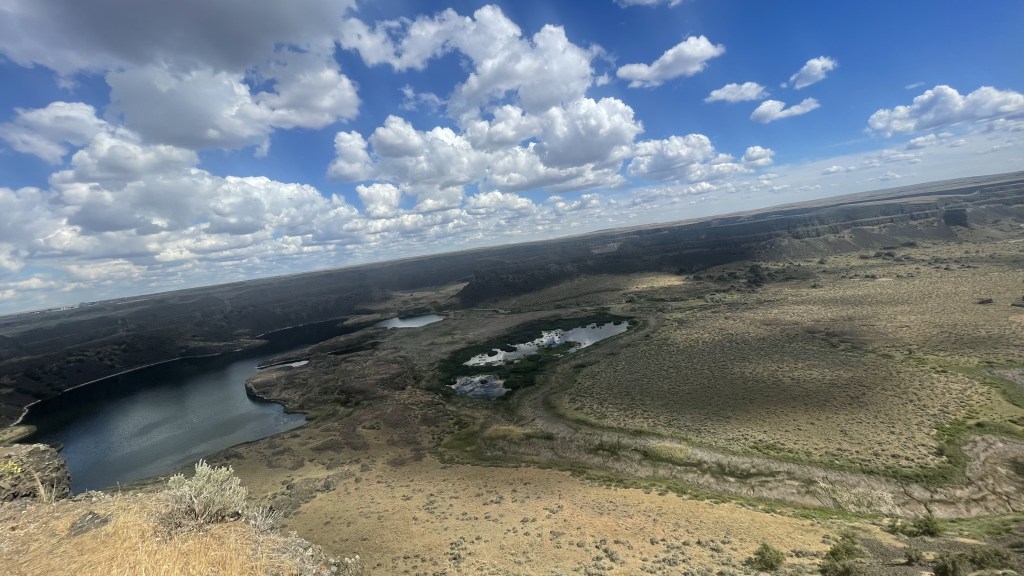
Dry Falls, June 16th 2024
Now this was a total surprise. I didn’t know about this. As I was driving from Grand Coulee Dam to Soap Lake, I saw this viewpoint. I had almost decided to skip this when something within told me to steer left and stop for a while. As I got out of the car, I was welcomed by a board that said this was the largest waterfall at a time. This piqued my interest. When I read through the infographic, I was totally amazed.
Grand Coulee expands for about 100 km between Grand Coulee Dam to Soap Lake, bisected by Dry Falls into Upper and Lower Grand Coulee. When Missoula floods happened towards the end of the last ice age, enormous amount of water rushed at more than 100 kmph through Grand Coulee widening it further. Large plunge pools were created at the base of Dry Falls. Plunge pools are created by backward erosion. Cascading water on the rocks erodes the formation’s base where the water impacts. Dry Falls began 20 miles south near Soap Lake but receded upstream all the way till present day’s Dry Falls, thus forming Lower Grand Coulee.
A good video I saw to develop this understanding – Dry Falls Washington Was The Largest Waterfall In The World (youtube.com)

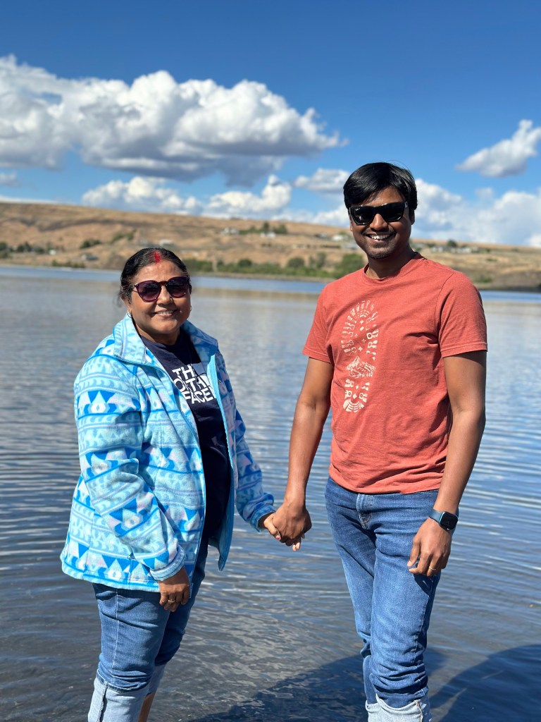
Soap Lake, June 16th 2024
Soap Lake is a lake that sits at the foot of Lower Grand Coulee. The water of the lake is soapy with foam generating naturally on its surface. It has 23 different types of minerals, one of which is ichthyols which is used to treat infection. This may be the reason why native tribes believed this lake had medicinal value and came to this place to relax.

Gingko petrified park, June 16th 2024
Journey from bone to fossil
When a body is buried, most soft parts of body like flesh decomposes in a couple of years leaving only the hard parts like bones, teeth and claws behind. But a buried bone isn’t the same thing as a fossil. The organic parts of the bones like collagen and fat eventually break down while inorganic parts like the ones made from minerals like calcium can stay much longer. Eventually what is left behind is a fragile, porous mineral in the shape of original bone. When this bone stays in water for too long, its microscopic pores are filled with other minerals from sediments. As this process continues for thousands of years, the bone becomes more and more rocklike. It is like filling a sponge with glue so that the physical shape stays as-is while the pores fill up with glue which eventually hardens.
Similar to bones, when plants undergo the same process, they are called petrified wood. Petrified wood was discovered at Gingko in the 1930s. This led to the creation of this state park to preserve this historic site. It is estimated that these tree trunks got buried under volcanic ash millions of years ago. Due to Missoula floods, basalt layer eroded this exposing the petrified wood buried within.
You may read this for more detail – Bone to Stone: Building Fossils | HowStuffWorks.


One thought on “Travel Diary #29: Eastern Washington”