Day 2, June 24th
Even though we slept late the night before, the soft morning light over Kachemak Bay woke us up early. The RV park had clean, warm bathrooms—simple comforts that felt luxurious in the cool Alaskan air. Breakfast was light: flaky croissants and hot coffee, eaten with a view of fishing boats heading out into the mist. Today was my turn to take the steering wheel, and around 10 AM, we rolled out of the campsite toward one of Homer’s most iconic landmarks.
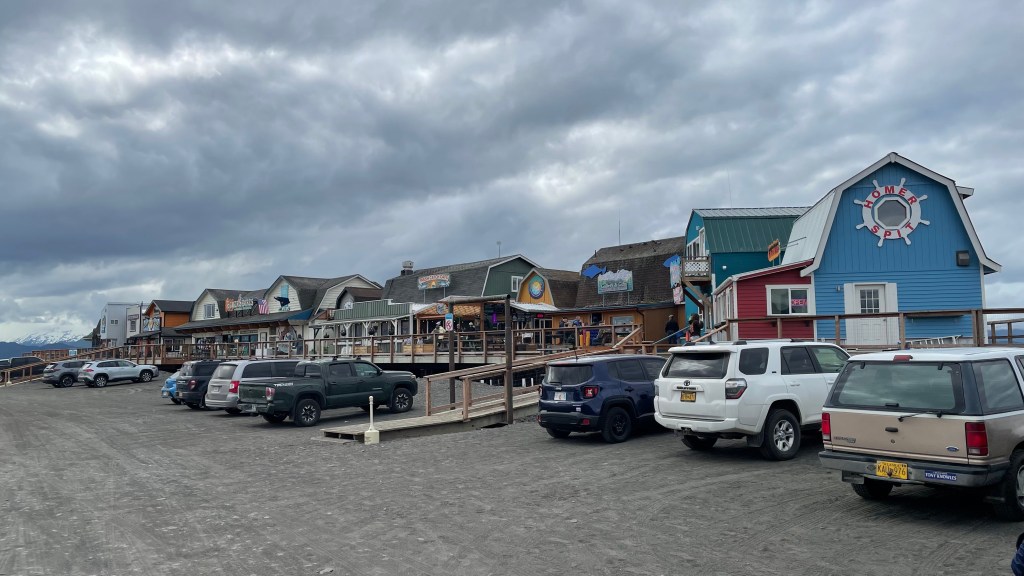
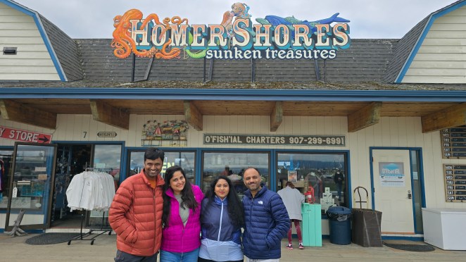
Homer Spit — A Ribbon of Land Sculpted by Ice
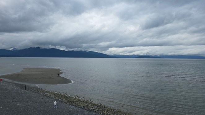
Homer Spit is a narrow, 4.5-mile finger of land stretches out into Kachemak Bay, almost as if the land itself is reaching for the mountains on the other side. Geologically, the Spit is a terminal moraine, created thousands of years ago when retreating glaciers dumped massive piles of gravel, sand, and rock. Over time, tides and storms shaped it into the slim, curving strip that exists today.
For the people of Homer, the Spit is more than geography—it’s a lifeline. The harbor supports fishing boats, ferries, and research vessels. Shops, seafood shacks, and galleries line the road, turning this raw glacial landform into a buzzing little community each summer.
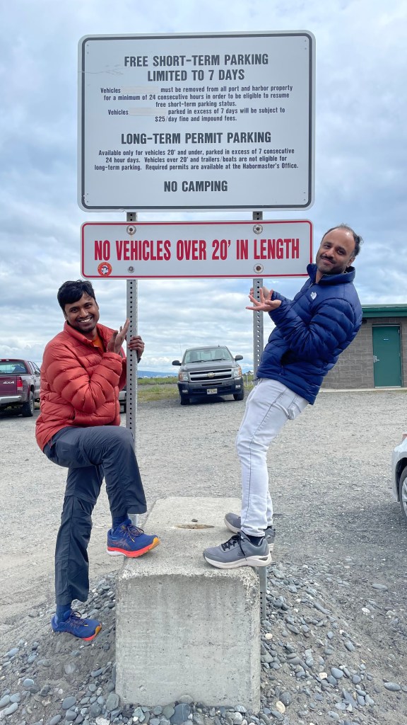
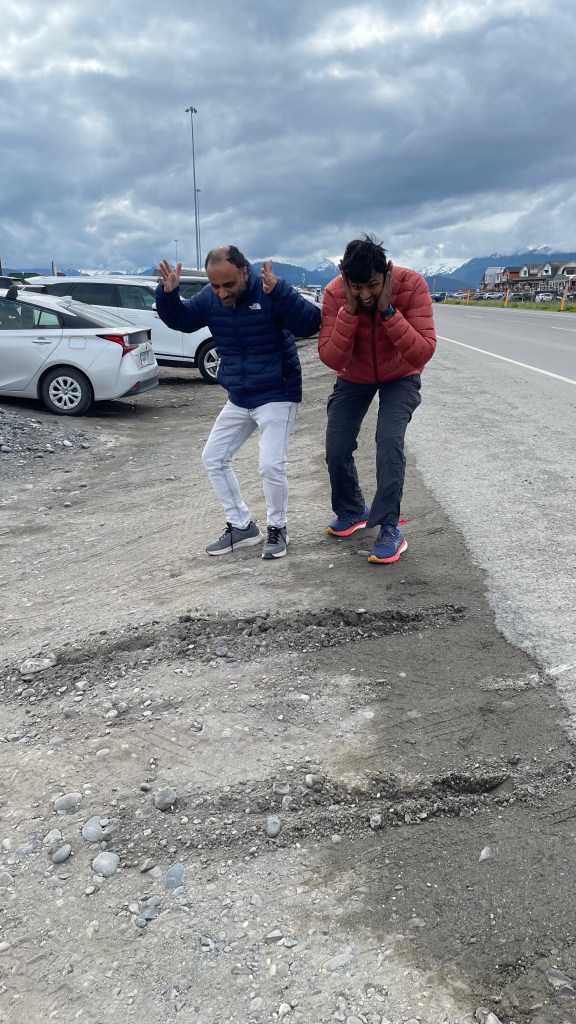
But our morning here had a twist. While searching for parking, we accidentally took a wrong turn. There was a sign clearly saying no vehicles beyond 20 feet, but we missed it—and our long RV ended up stuck in a deep dip at the entrance of a lot. I froze for a moment. If I accelerated too hard, the RV’s lower bumper—or worse, the water tanks—could have scraped badly. Raj took over, and with slow, steady control, he eased the RV out safely. It was a narrow escape, and we laughed about it later, but at that moment, we were genuinely afraid we’d have to call for a tow truck.
Once the adrenaline settled, we wandered through the rows of small shops, bought souvenirs, and treated ourselves to ice cream. The salty air, the cries of seabirds, and the laid-back rhythm of the Spit made the morning feel peaceful again.


Cooper Landing – Gold in the heart of Kenai
By early afternoon, we began our drive inland toward Cooper Landing, reaching around 4 PM. The scenery along the Sterling Highway felt like a painting that changed with every turn—rolling forests, turquoise rivers, and mountain ridges stacked like waves.
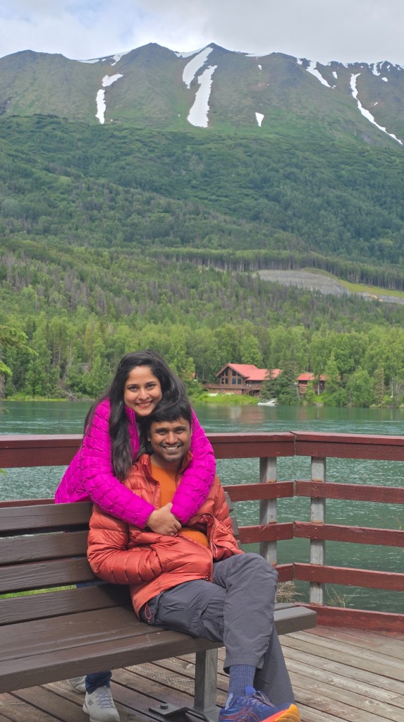
Cooper Landing itself is steeped in history. It was founded in the 1880s by Joseph Cooper, a gold prospector who discovered gold along the nearby creeks. What started as a rough mining camp slowly transformed into a town centered around the Kenai River, one of the most vibrant salmon rivers in the world.
Situated at the banks of Kenai Lake, Cooper Landing is a tranquil town with not much happening around. We took a peaceful stroll around the Cooper Landing bridge and clicked a few photos.
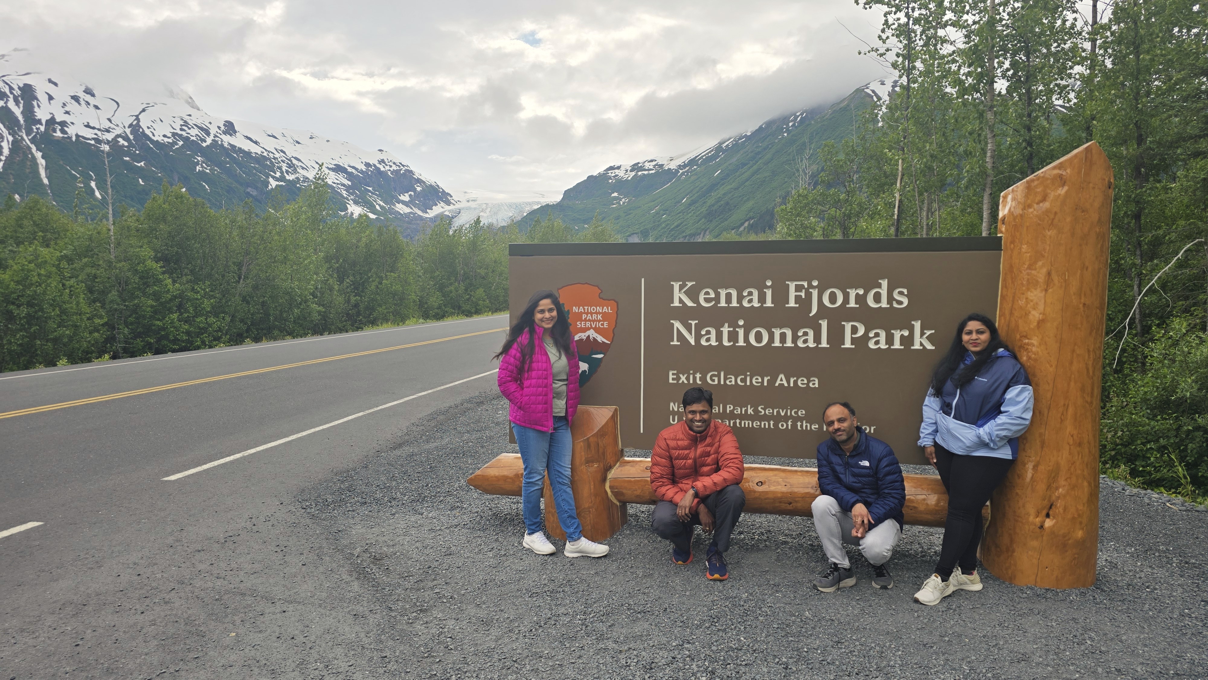
Exit Glacier — Walking Into the Past, One Blue Wall at a Time
By 6 PM, we reached the trailhead for Exit Glacier, one of the few glaciers in Alaska that you can walk almost right up to. Exit Glacier spills out from the enormous Harding Icefield, a frozen world nearly 700 square miles wide. This icefield is the birthplace of dozens of glaciers, all flowing outward like the spokes of a wheel. There are two major hiking routes here:
- the long, strenuous trail to the Harding Icefield viewpoint,
- and the shorter one leading to the terminus of Exit Glacier.
We chose the second, a moderate two-hour round-trip hike to Exit Glacier. The trail begins along a wide outwash plain, created by meltwater streams that carry silt from beneath the glacier. Exit Creek rushes through the middle, carrying tiny particles of ground rock—“glacial flour”—that shimmer in the water. As we walked, wooden signs marked different years: 1899, 1926, 1978, 2005. Each sign showed where the glacier’s edge once stood. With every step, we weren’t just moving uphill; we were moving forward in time, witnessing how far the ice has retreated.
We reached the viewpoint in about an hour, where the glacier’s blue surface glowed under the evening sun. Standing there, hearing only the wind and distant cracking of ice, felt humbling. Everything was quiet, grand, and fleeting.


Evening in Seward — A Warm Meal After a Cold World
By 8:30 PM, we reached our RV park in Seward. After a long day of driving and hiking, nothing felt better than a warm, wholesome Indian dinner with Tiramisu dessert inside the RV. The sky outside remained bright, as Alaskan summer evenings always do, but our bodies told us it was time to rest.
Day 2 was a journey from sea to ice—from the muddy, living edges of Homer Spit to the frozen, ancient walls of Exit Glacier. Alaska revealed once again how it holds both past and present in the same breath, and how every mile here changes you in ways big and small.