A short island-hop from Oʻahu dropped us onto a completely different Hawaiʻi. Where Oʻahu is one busy, walkable strip of city and beach, Maui is big, quiet, and wildly varied — you can stand in a freezing alpine desert at 10,000 feet in the morning and snorkel a sunny reef by afternoon. Over five days out of a base in Kihei we drove up a shield volcano twice, crawled the Road to Hāna, and swam inside a sunken crater. Here’s how it went.
Geology and shape of Maui
Maui is really two volcanoes stuck together. The West Maui volcano erupted first and is now old, extinct, and worn down to about 5,800 feet; Haleakalā grew later to the east and still towers at 10,023 feet. Picture two separate domes rising out of the sea with a stretch of open ocean between them. Over time that gap filled in — Haleakalā’s lava flows spread into the channel, and rain and streams washed eroded sediment off both mountains and piled it up in the low ground between them.
The result is a pinched, figure-8 island: two tall mountain masses joined by a flat, low land-bridge (an isthmus), with the ocean still biting in from the north and south to give that “waist” its squeezed look. And that flat middle is the key to the nickname. Stand in the center — around Kahului and the old sugarcane flats, where the airport is — and you have mountains rising on both sides with a broad, low plain running between them. That giant central valley between the two volcanoes is why Maui is called the Valley Isle.
How Haleakalā was built, and then unbuilt
Haleakalā, on east Maui, itself is a shield volcano — built by countless runny lava flows that spread out into broad, gentle slopes, like a warrior’s shield laid face-up rather than a steep cone. And that vast “crater” at its summit isn’t actually a crater at all: it wasn’t blasted out or collapsed. During a long dormant spell, two enormous stream valleys slowly ate their way back into the mountaintop until they met, carving one giant amphitheater. Later eruptions then partly refilled the floor, dotting it with the colorful cinder cones — small hills of frothy, iron-stained lava thrown up around individual vents — that you look down on today. So, the order was build, erode, then erupt again, and the landscape quietly tells that whole story.
A quick volcano vocabulary
These words get tangled easily, so here’s the cheat sheet — two of them name a whole volcano, two name a feature on one:
- Volcano — the umbrella term: any vent where molten rock, ash, and gas erupt, plus the mountain built around it. The types below are all volcanoes.
- Crater — not a type, but a feature: the bowl-shaped pit at the summit, right over the vent. (A caldera is the same idea on a giant scale, formed when a whole summit collapses.)
- Shield volcano — built by runny lava that flows far before hardening, stacking into a broad, gently sloping dome like a warrior’s shield. These are the giants that build islands. On this trip: Haleakalā, and Oʻahu’s Koʻolau range.
- Cinder cone — forms when gassy lava sprays up in a fire-fountain and the blobs cool into frothy chunks that pile into a small, steep cone. Dry, on land. On this trip: the cones dotting Haleakalā’s crater floor.
- Tuff cone — forms when magma meets water: the steam explosions blast it into fine ash that settles into a low, broad ring and hardens into rock called tuff. On this trip: Diamond Head, Hanauma Bay, and Molokini.
Day 5 — Wednesday, 27 May: Haleakalā sunset
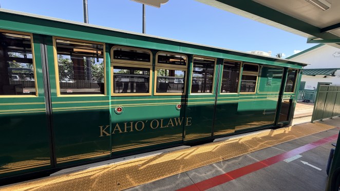
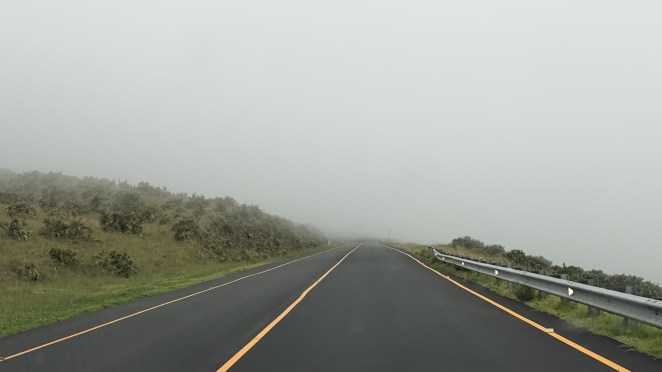
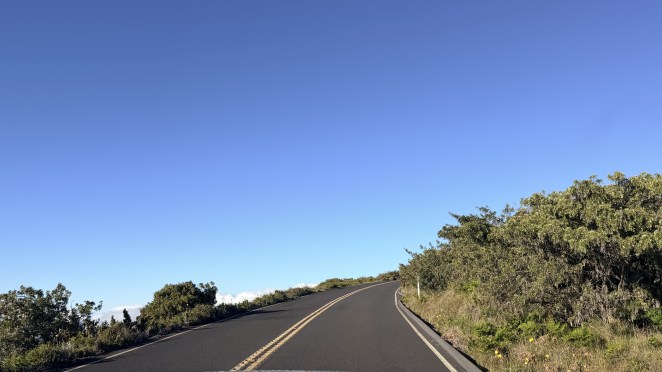
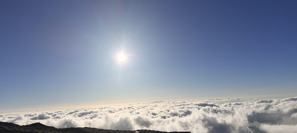
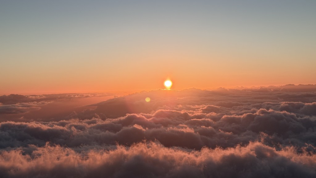
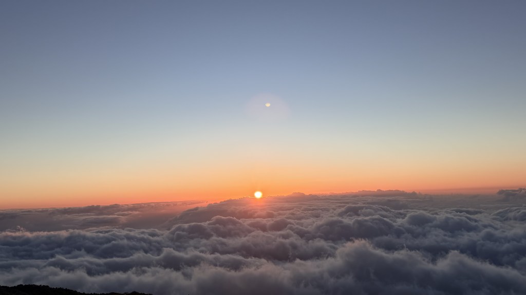
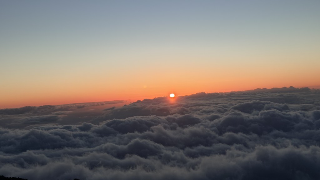
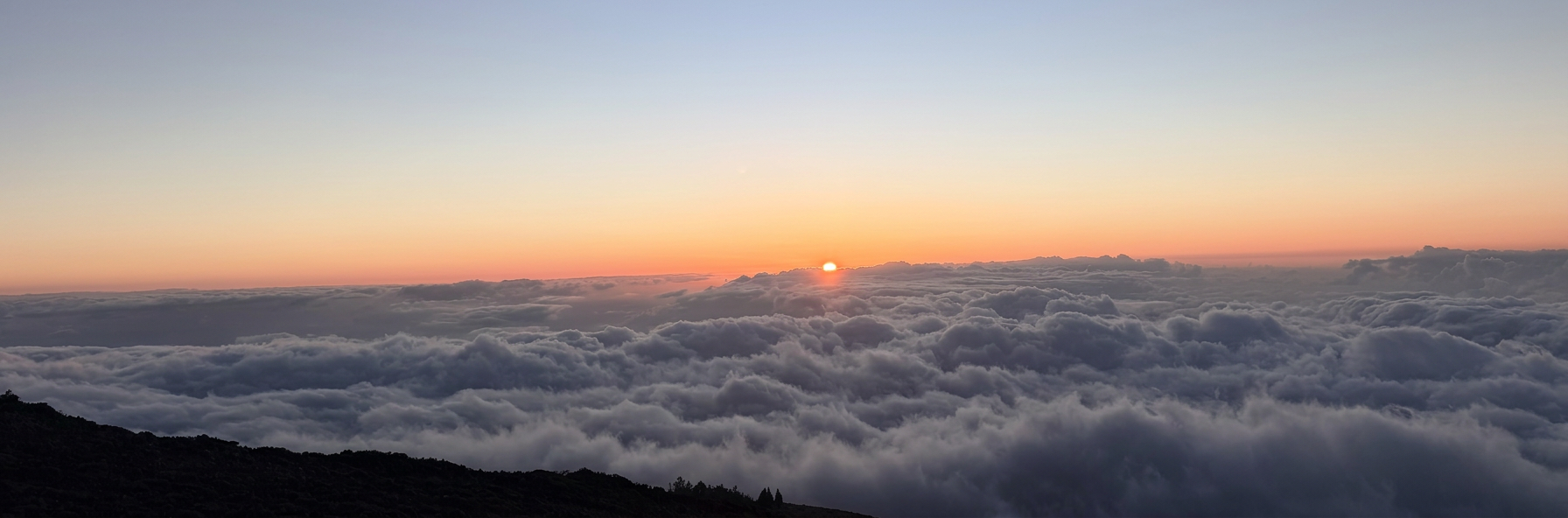
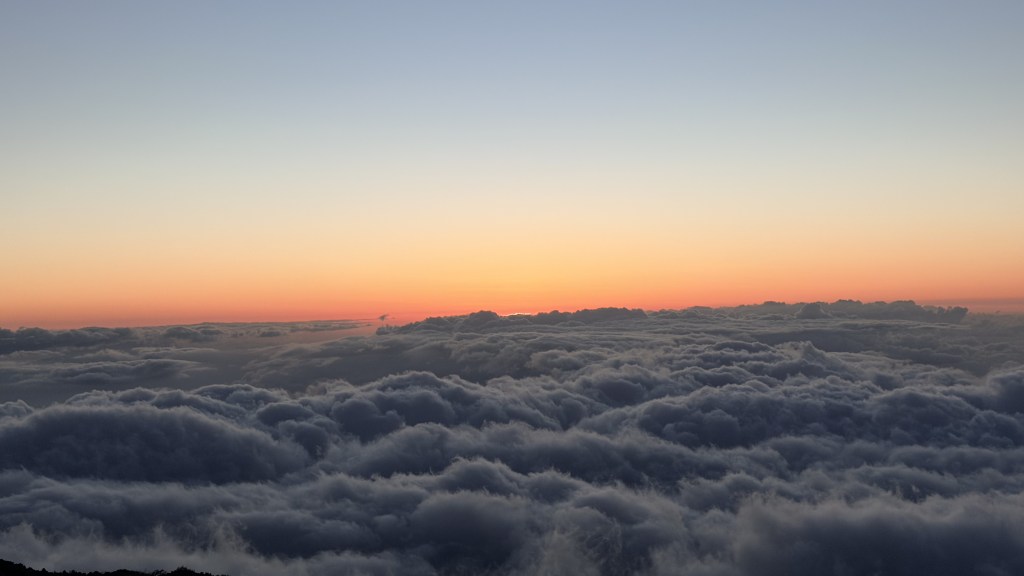
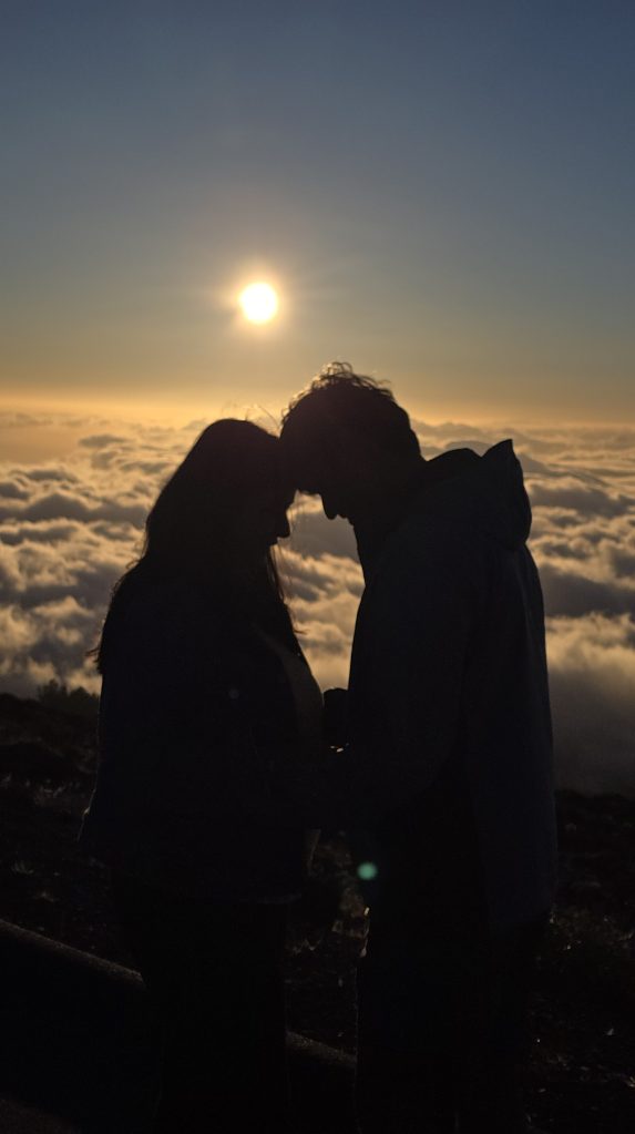
An early flight got us into Kahului by 10 a.m. Maui’s airport greets you with a small, oddly charming touch: a little open-air tram that shuttles you over to the rental-car center. We grabbed the car, did the now-familiar Costco run for water and essentials (lesson well and truly learned on Oʻahu), and checked into our Airbnb in Kihei on the dry south shore. We rested for a few hours. Then, in the afternoon, we pointed the car straight up. Our target was Haleakalā — “House of the Sun” — for sunset. Good news for the spontaneous: sunset needs no reservation. The park only requires a per-vehicle reservation for the sunrise window (3 a.m.–7 a.m.), booked ahead on Recreation.gov, with a last-minute batch released about 48 hours out. For sunset you just pay the entrance fee (which is not needed if you have national park pass) and drive up. And it is indeed quite an impressive one — a relentless series of switchbacks up the mountain’s flank. For one long stretch we were swallowed by cloud, unable to see more than about ten meters ahead. Then, quite suddenly, it cleared and we popped out into brilliant sunshine.

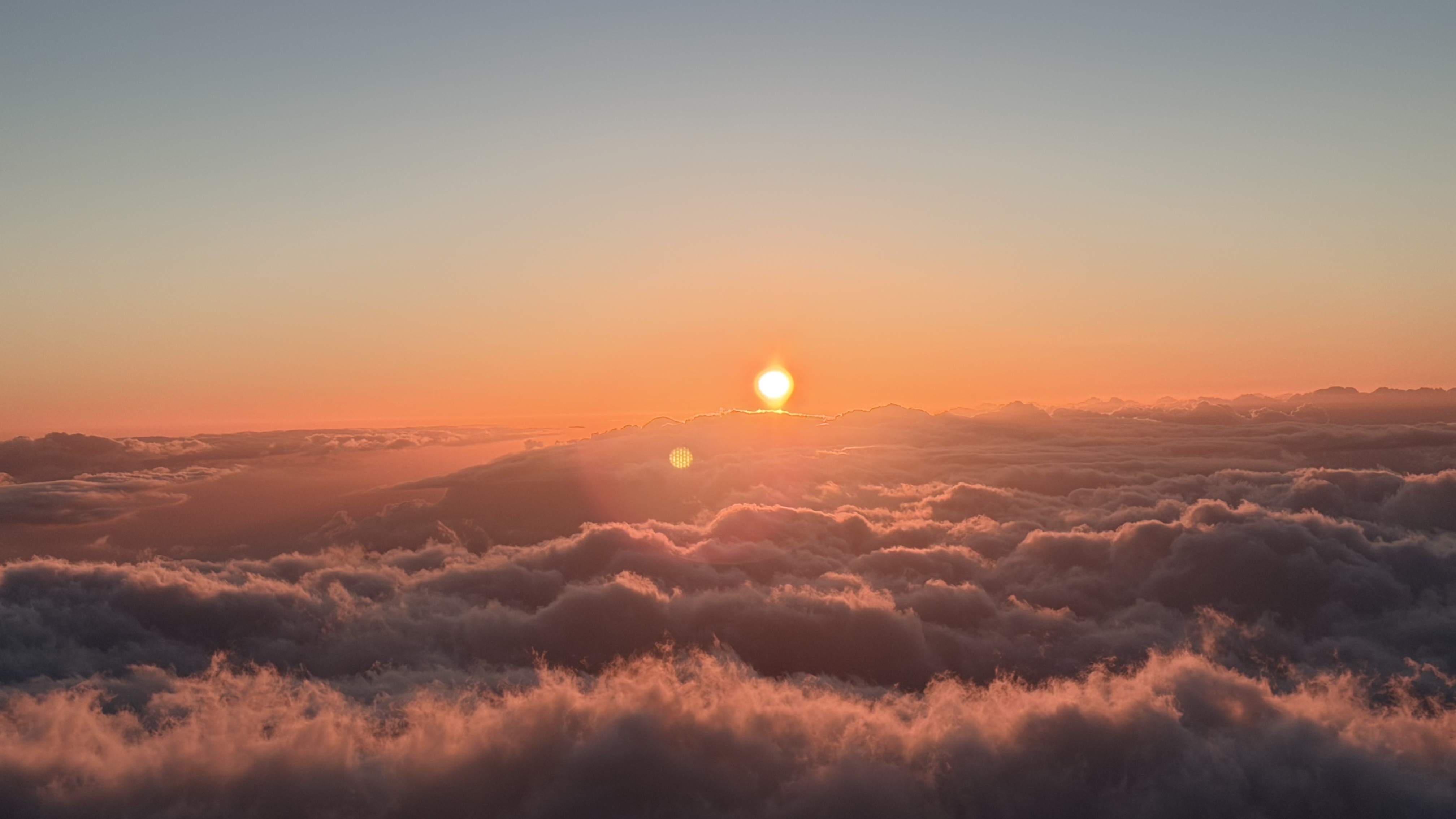
Sunset from Haleakala’s Kalahaku Overlook
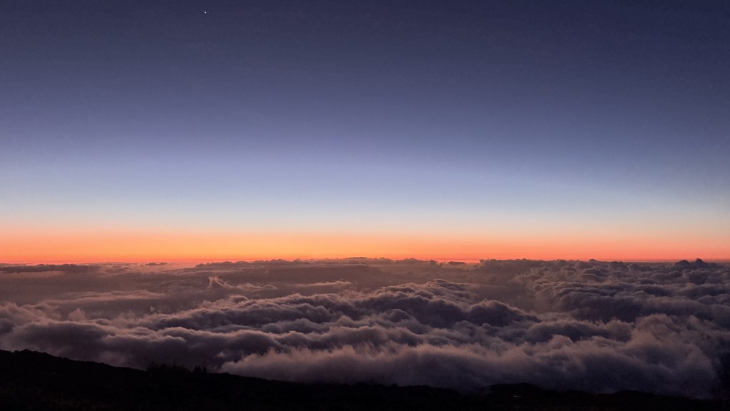
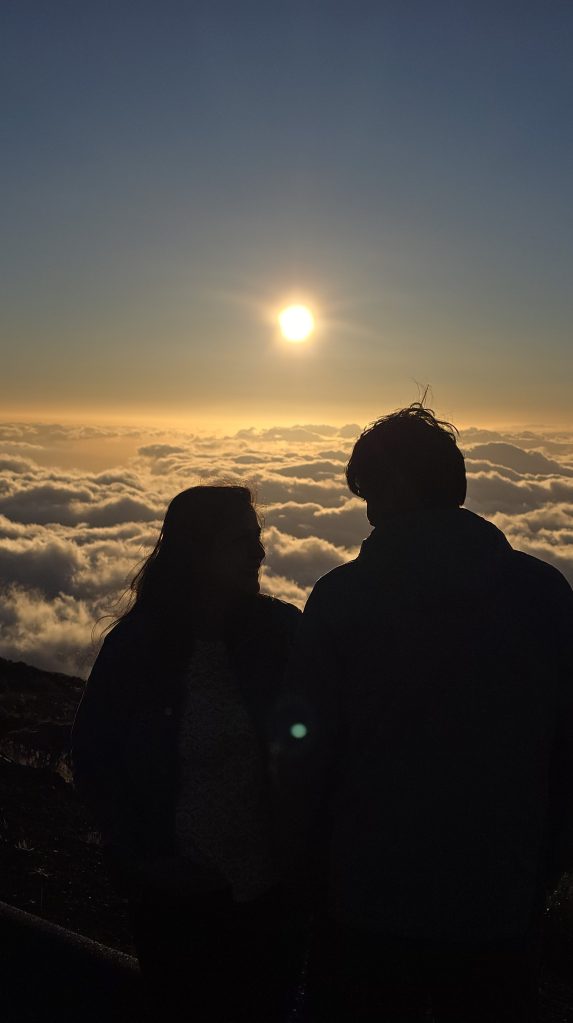
We stopped at the Kalahaku Overlook, just a few switchbacks below the summit. This was a great call: the summit itself was mobbed, while Kalahaku was calmer, and it looks out west — perfect for watching the sun drop toward the ocean and West Maui.
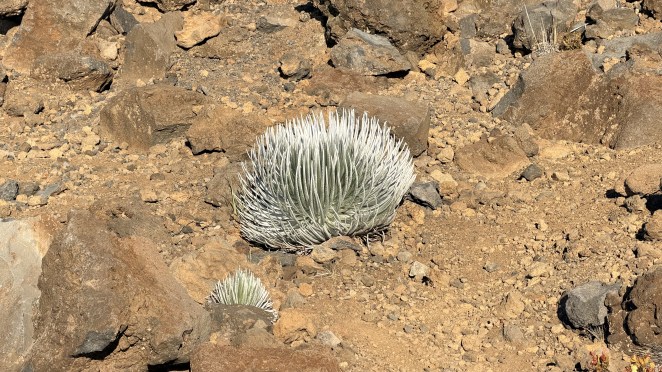
Right there at the overlook we spotted a Haleakalā silversword (ʻāhinahina). It grows nowhere else on Earth except this mountain (the Mauna Kea silversword lives on a different peak, over on the Big Island). It’s a genuinely strange, wonderful plant: a rosette of silver, sword-shaped leaves furred with fine hairs to survive the harsh alpine desert. It can live anywhere from a few years to 90 years, and it flowers exactly once — sending up a tall stalk covered in hundreds of purplish blooms — then dies, scattering its seeds to the wind.
For a while I was lost in the west rim of Haleakalā — the view from the top, the sun easing toward the horizon. Then Raj called me over to a spot that opened up the east rim, and it stopped me cold. The whole vast valley lay in shadow, but that shadow was hiding something extraordinary: an immense red basin of lava rock, cinder cones scattered across the crater floor, and the old lava flows still traced clearly down their sides. It was an absolutely mesmerizing sight. I have explained above the geology of Haleakalā – how it was built, then eroded and then erupted again to make way for current landscape.
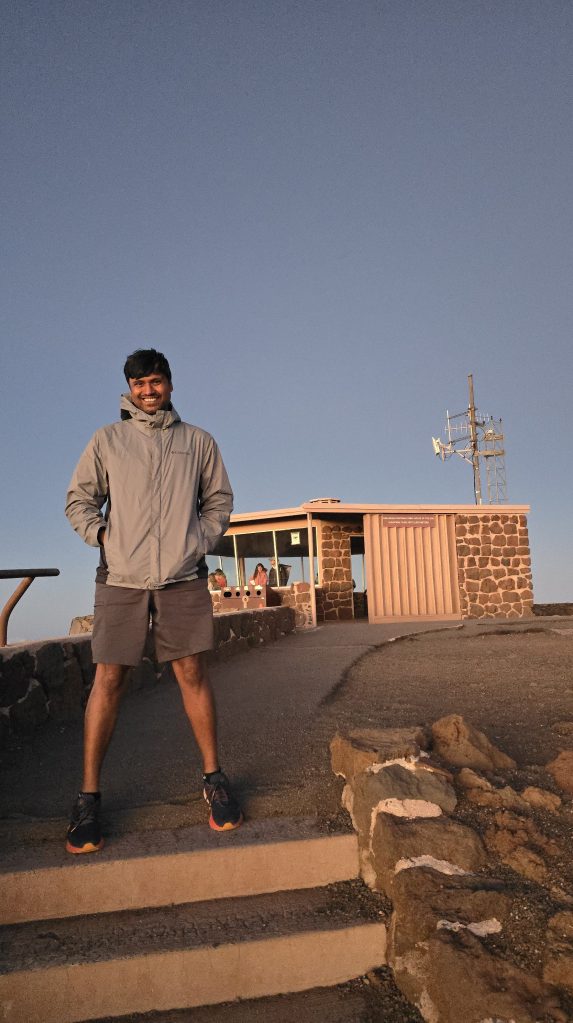
By the time the sun was down (around 7 p.m.), we drove the last stretch up to the summit just to see it. Make no mistake, at that height the temperature can plunge to near freezing at any time of year, so bring real jackets. Freezing air on a tropical island is one of Maui’s best surprises.
Day 6 — Thursday, 28 May: West Maui’s bays and points
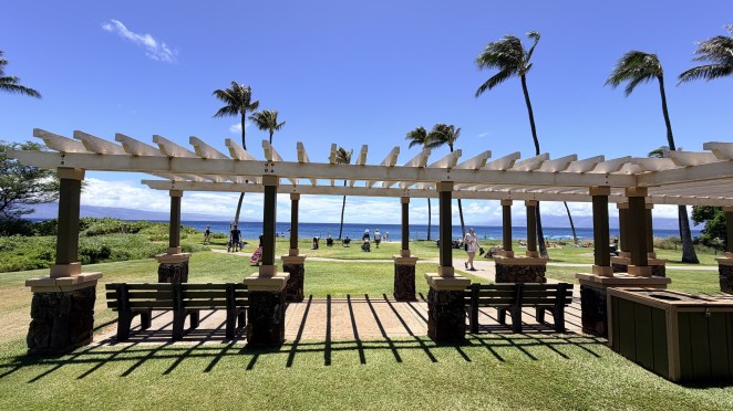
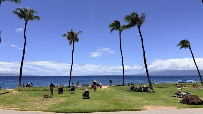
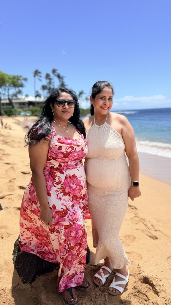
We spent the day exploring West Maui’s shoreline. First stop, Kāʻanapali Beach — long, calm, and one of the best easy snorkeling beaches on the island; we liked it so much we came back on our last day. From there we hopped up to Napili Bay, a pretty crescent that’s equally swimmable.
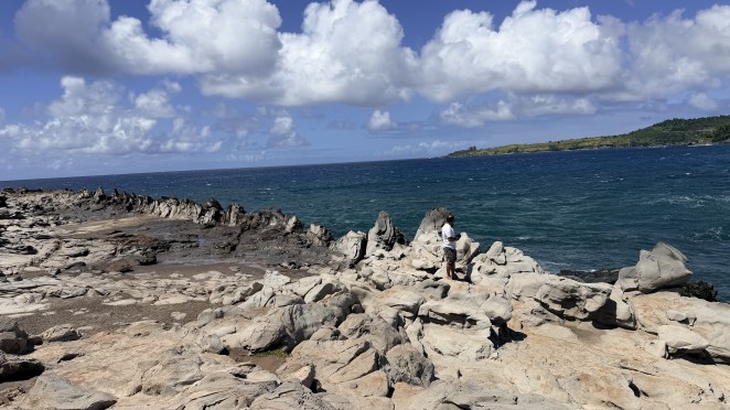
Dragon’s teeth
At Makaluapuna Point in Kapalua, a short walk leads to one of Maui’s oddest bits of coast: Dragon’s Teeth — a row of jagged black rock spikes, some a few feet tall, jutting up like a dragon’s jawline. Raj and I walked out (Shalini and Jyothi waited in the car).
Dragon’s Teeth formed when lava and ocean fight to a draw. As one of West Maui’s late lava flows crept toward the sea, fierce onshore wind and pounding waves shoved the molten rock back on itself, so instead of spreading flat it hardened upward into these jagged points. Centuries of wind and salt spray then sculpted and bleached them into the “teeth” you see today.
One note of respect: the point sits right beside Honokahua, an ancient Hawaiian burial site, so tread lightly and keep to the marked areas.
Honolua Bay and Nakalele
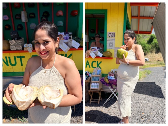
At Honolua Bay, Shalini finally got the fresh coconut water she’d been chasing since Oʻahu. The bay is a protected Marine Life Conservation District and, on a clear day, a famous snorkel spot. But we found the water to be very muddy, and after wading in I got spooked by the low visibility and came back out. Raj stuck it out a while, but honestly I wouldn’t recommend snorkeling here.
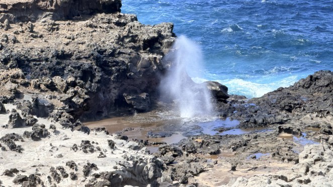
We also stopped at the Nakalele Blowhole on the northern tip. Same trick as the Halona blowhole back on Oʻahu — waves force seawater up through a narrow gap in the lava and it erupts skyward — but Nakalele’s spout can be even bigger, sometimes reaching dozens of feet.
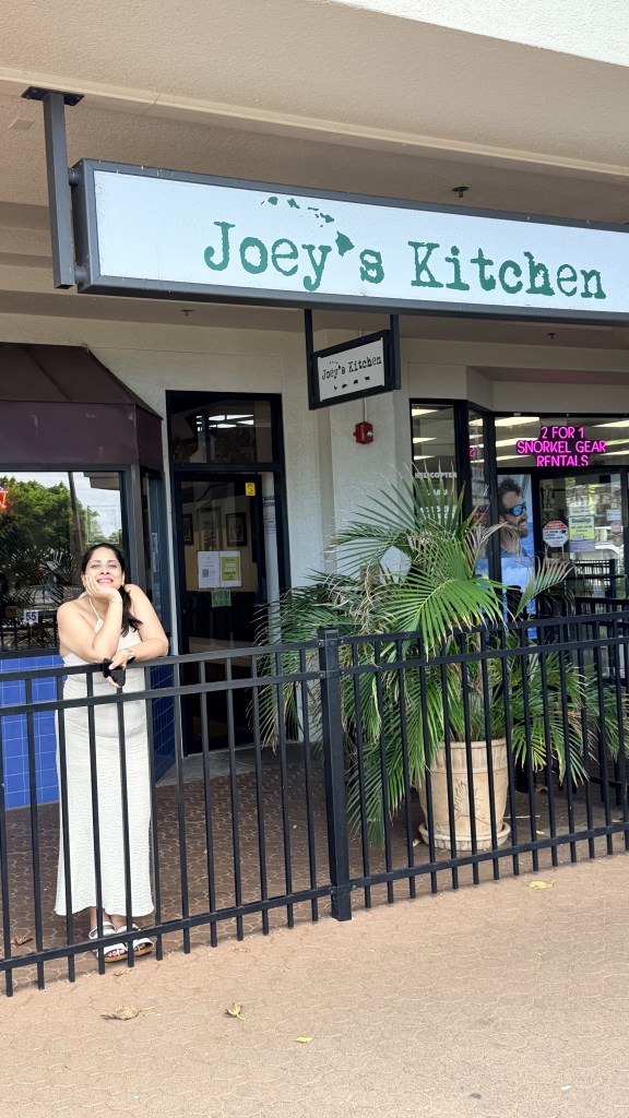
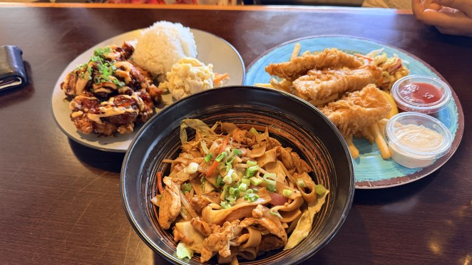
Lunch was at Joey’s Kitchen in Napili (very good), followed by Dole Whip at the Honoapiʻilani Food Truck Park, and then a mellow sunset at the Kāʻanapali boardwalk near Whalers Village — a vibrant strip where you could genuinely spend a whole day.

Day 7 — Friday, 29 May: The Road to Hāna
Road to Hana is roughly 64 miles of coastal highway from Kahului to the tiny town of Hāna, and the drive is the destination: about 600 curves and 59 bridges — 46 of them one-lane, many built back around 1910. Undriven, it’s ~2.5 hours each way; with stops, it’s a full day. The unsaid rule is: take it slow, yield often, and let the fast locals pass.
Remember the windward/leeward split from the Oʻahu diary? Maui runs the same play on a grander stage. The northeast trade winds slam moist air into the towering windward (east) flank of Haleakalā, which wrings out the rain — so the Hāna side is impossibly green and waterfall-laced. By the time that air spills over to the leeward south and west, it’s spent, leaving Kihei and Lahaina dry and sunny.
This is a famous one. We started early from our Airbnb, at around 6 AM. We paced ourselves down the coast:
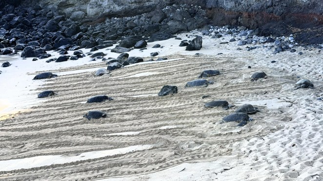
- ~7:30 am — Hoʻokipa Beach Park. The windsurfing capital of the world, but we came for the green sea turtles hauled out and basking on the sand. Give them at least 10 feet of space.
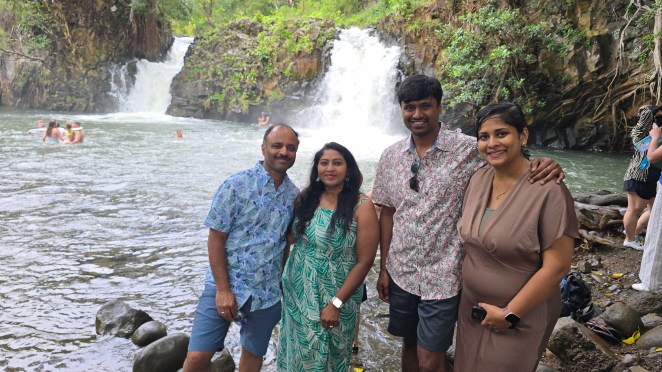
- ~8:15 am — Twin Falls. The first proper waterfall stop, ringed by lush plants and unusual tropical flowers.
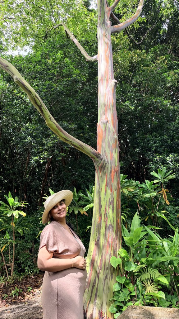
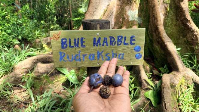
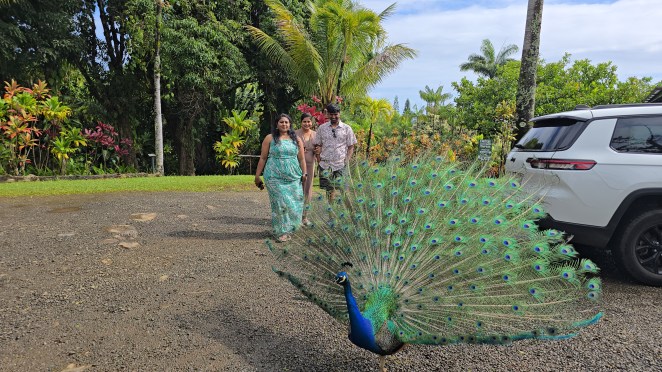
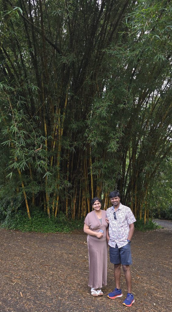
- ~9 am — Garden of Eden Arboretum. A gorgeous, well-kept garden where a peacock stole the show and the trees are the real stars: the surreal rainbow eucalyptus (its bark peels to reveal streaks of green, orange, and purple), towering bamboo, and the “blue marble” tree with its startling blue seeds.
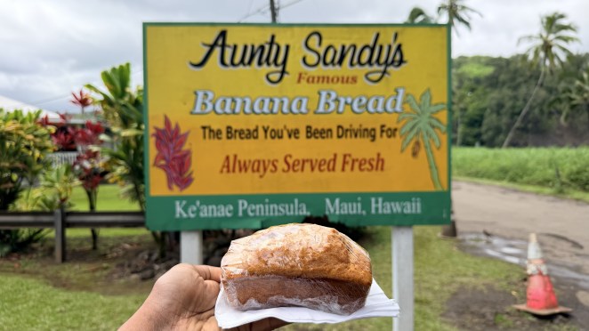
- ~10:30 am — Aunty Sandy’s banana bread, near the Keʻanae Peninsula. A Road-to-Hāna institution, and worth the stop.
- ~11 am — the “Halfway to Hāna” sign.
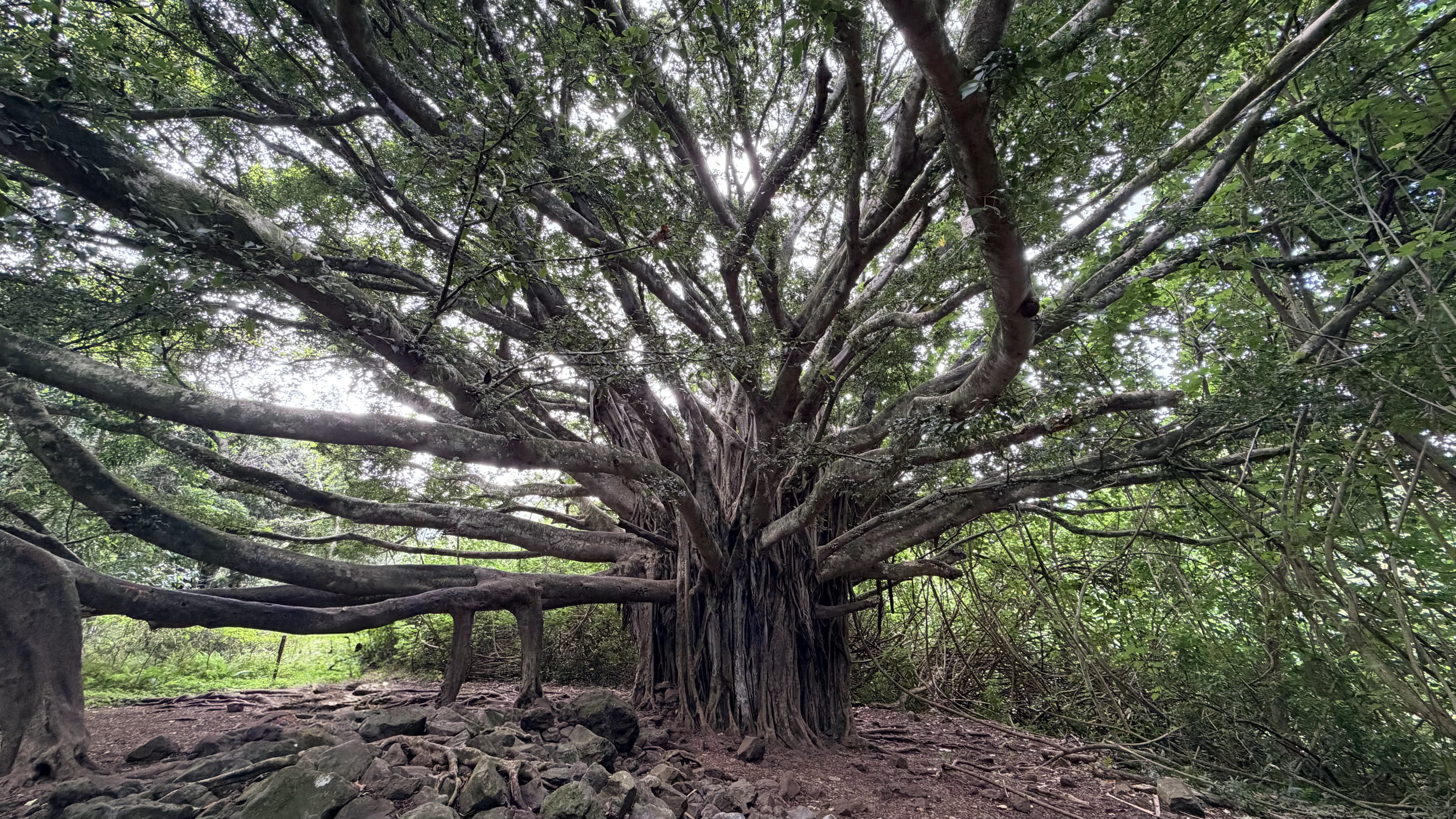
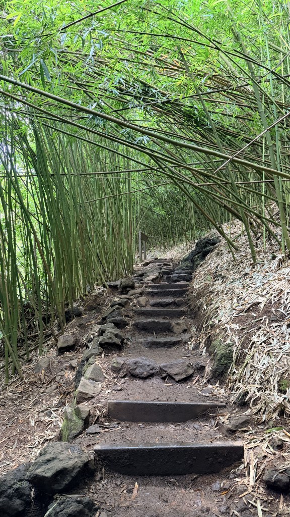
- ~1 pm – Pīpīwai Trail. Here’s a lovely bit of continuity: this trail is in the Kīpahulu District of Haleakalā National Park, the same volcano we watched at sunset two days earlier, just its wet, green, ocean-side foot. The trail climbs about 4 miles round trip past a giant banyan tree, through a bamboo forest, and up to the ~400-foot Waimoku Falls. We didn’t go all the way to the end — after the bamboo forest we turned back — and then I nipped over alone to the short ʻOheʻo Gulch trail. We were done around 3 p.m.
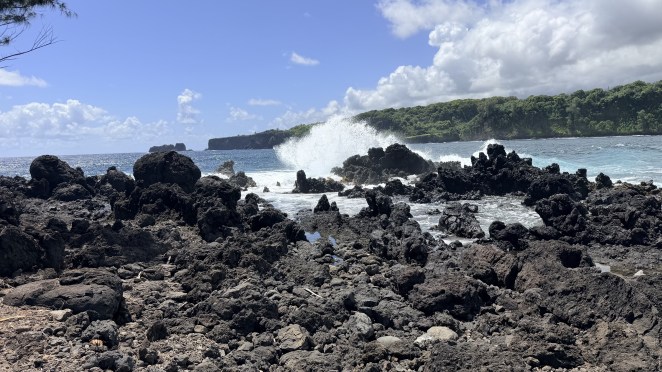
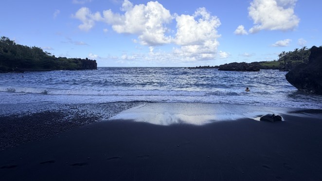
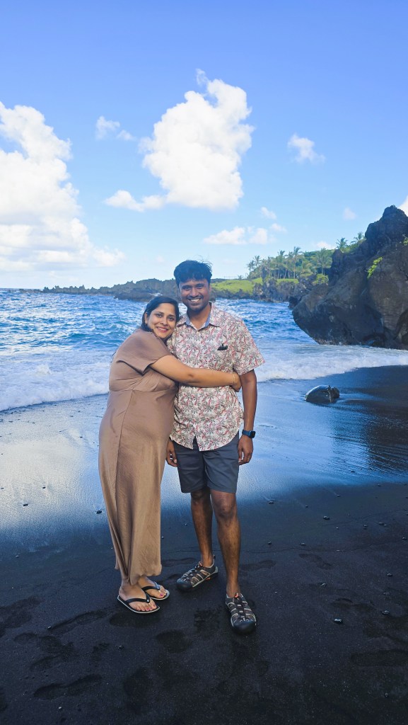
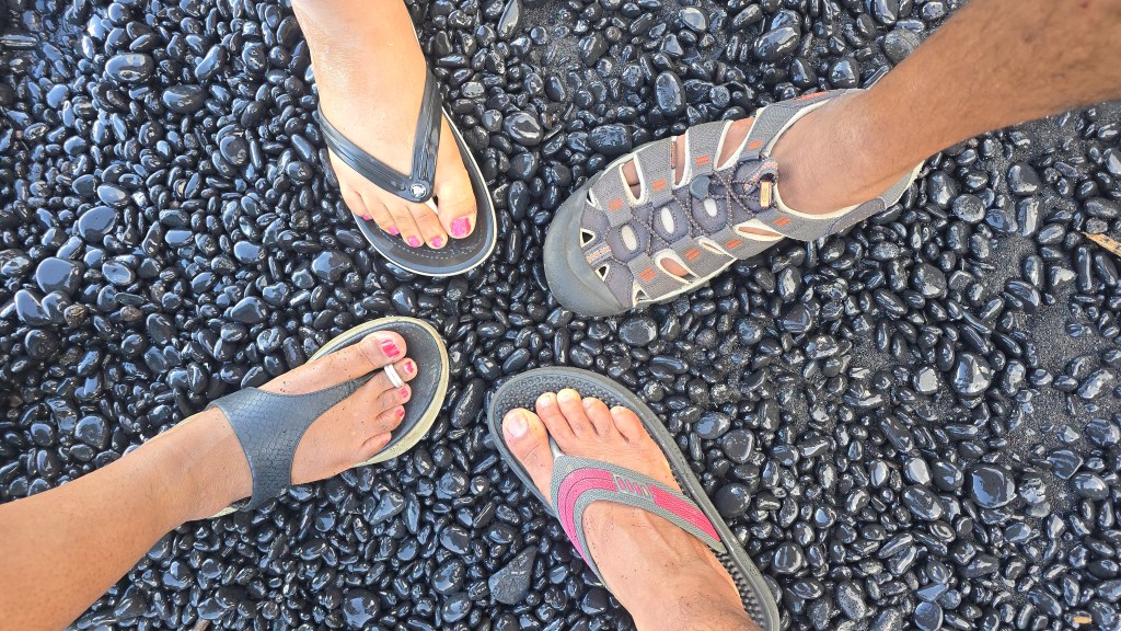
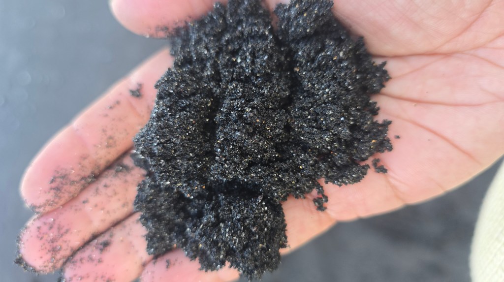
- ~4.30 pm – Black sand at Waiʻānapanapa. There is a timed reservation for this place. Ours was 3.30-4.30 PM slot. We backtracked from Pipiwai to Waiʻānapanapa State Park for our timed slot at the black sand beach (Paʻiloa). Nobody fussed that we arrived a touch late. When Haleakalā’s lava poured into the cold sea here, the shock shattered it into tiny black basalt fragments; waves then ground those down over centuries into jet-black sand. It’s dramatic against the green cliffs — though, being honest with the notes: it’s a small cove, and if you’ve seen the vast black beaches of Iceland, this one can feel modest. We still spent a happy 45 minutes there.
Pro tip: we made the classic mistake. Because our Waiʻānapanapa slot was later in the day, we pushed past it to Pīpīwai first, then doubled back — and that back-and-forth over a rough stretch of road ate real time. Next time (or for anyone reading this): do Waiʻānapanapa first, then Pīpīwai, then continue forward and complete the full Hāna loop rather than retracing your route. Book the black-sand slot to match that order. If the booked time slot does not align with your arrival time, take your chance and go there – maybe they allow you in.
Day 8 — Saturday, 30 May: Molokini crater and La Perouse Bay
Snorkeling cruise at Molokini crater
Molokini is a tuff cone — the very same kind of volcano as Diamond Head and Hanauma Bay back on Oʻahu — formed about 230,000 years ago when rising magma met shallow seawater and blew out a ring of ash that hardened to rock. Here’s the twist: most of Molokini’s rim is now below sea level, so the ocean floods the bowl, leaving only that iconic crescent poking above the surface. That crescent shelters the water inside from swell and current, which is why visibility routinely tops 100 feet.
Our boat – Maui Magic – started early, in the soft light of morning. The boat ride out to the crescent took about 45 minutes, and the crew looked after us the whole way with breakfast and drinks. Snorkel gear and paddleboards came with the tour, though we’d brought our own. Wetsuits were available to rent for $10 each. They were optional, but we took them. The boat anchored right inside the Molokini crater. The water there was so clear you could see nearly 150 feet straight down. And that was the problem. I looked over the side into all that open blue and my nerve just left me. I did not want to jump. The guides could see it on my face, and they talked me down gently. “Trust your gear. It’s salt water. You won’t sink.” So I put my faith in them, took a breath, and jumped.
And oh, it was magic. The moment my face hit the water, a whole world opened up. Fish everywhere. Coral in every direction. Colors I never knew the ocean was hiding. It left Hanauma Bay far behind. Raj took my hand and led me out to the quieter patches, further from the boat, where he pointed out hidden corals and flashes of bright fish tucked deep into the reef. A pool noodle around my waist and a hand resting on the paddleboard were enough to keep me calm and floating. And then a strange, quiet feeling came over me. I was hovering above an entire living world that had no idea I was there. For one hour, I got to slip in quietly and watch a life that almost nobody gets to witness. It felt humbling, and a little dreamlike, as if the planet had let me in on a secret it usually keeps to itself.
After about an hour, we climbed back aboard, tired and glowing, and lunch was waiting. The boat then carried us to a nearby turtle spot to swim with green sea turtles. There were so many of them, drifting by just beneath us, calm and unbothered. You’re meant to keep at least five feet away and never touch them. That isn’t always up to you, though. The rules are for us, not for the turtles, and every so often one would glide right up as if to say hello. To float there beside them, just another quiet shape in the water, felt every bit as moving as the crater had. I wasn’t watching their world anymore. For a little while, I was part of it. We were back by noon, salt-crusted and happy. If you make it to Maui, please do this one. I’d send absolutely everyone.
La Perouse Bay
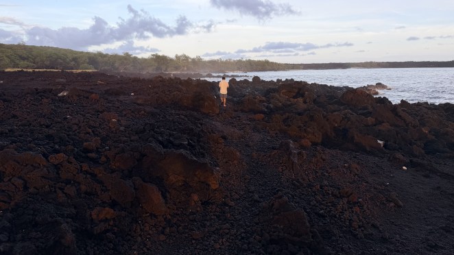
In the evening we drove to the ʻĀhihi-Kīnaʻu Natural Area Reserve at the island’s southern tip. It looked genuinely extraterrestrial — vast, untouched fields of jagged black lava rolling right down to the sea.
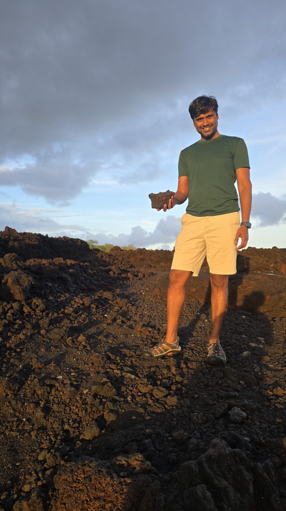
This is the site of Maui’s most recent lava flow, from Haleakalā’s southwest rift zone — not the summit. It is named after French explorer La Pérouse. Recent radiocarbon dating suggests that the eruptions likely happened sometime around 1480–1600. It’s young, raw lava — a preview of what all these islands looked like when they were new.
Raj and I set out on the Hoapili Trail, which crosses the lava fields. It follows the old King’s Highway (Ala Loa) — an ancient footpath that once circled the island, later rebuilt in the 1820s–40s under Governor Hoapili, whose name it now carries. We got about half a mile in, spotted another blowhole (much closer than the ones before), and turned back only because the light was going. Given more time we’d have kept walking; it’s a unique, otherworldly hike and I’d happily return.
Day 9 — Sunday, 31 May: Haleakalā Sunrise and Lahaina
(missed) Haleakalā sunrise
This was much sought after day that Raj and I were trying to get a reservation for. Last minute tickets open only 48 hours in advance. So, we have been trying to book Haleakala sunrise ticket since day 4 (while doing Diamond hike). Finally, we had succeeded on day 7 (while driving to Hana). So, today was when we were supposed to eat the fruit of our labor.
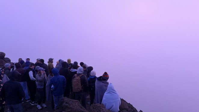
Time to cash in that hard-won reservation. We were up at 2:30 a.m. and driving up the dark mountain. By 4 a.m. we hit the entrance, where a long queue took about 30 minutes to clear the checkpoint; we were at the top by 4:45.
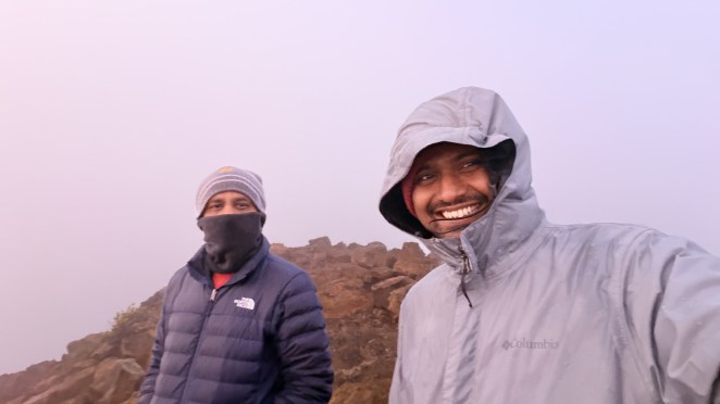
And then… nothing. Fully socked in. No sun, just a faint tinge of purple in the murk, bitter cold, and a light drizzle. After days of chasing that reservation, we stood shivering in the cloud, saw no sunrise at all, and drove back down by 6:30, thoroughly dejected. That’s the honest gamble of Haleakalā sunrise: the reservation gets you in, but the weather owes you nothing (and there are no refunds for clouds). Our shadowed cinder cones from Day 5 stayed a mystery.
Lahaina
We got back, freshened up, packed, checked out, and headed toward Lahaina around noon.
In August 2023, a catastrophic wildfire tore through Lahaina, destroying much of the historic town and taking many lives. When we visited in May 2026, the historic core — Front Street, the galleries and shops, and the great banyan tree — was still closed and under active rebuilding. What’s really open and alive is the area to the north, around the Lahaina Cannery and a handful of oceanfront restaurants that survived. That’s where the community has gathered while the center heals.
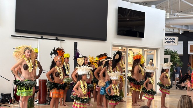
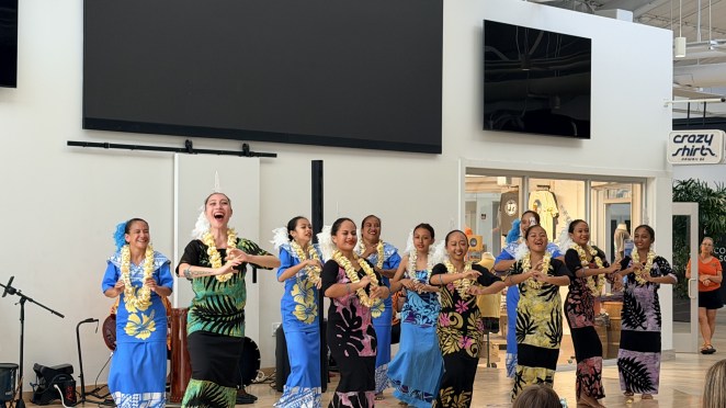
At the Cannery we watched a free hula and cultural performance — dancers of all ages, from little kids to elders, and it was genuinely moving to see that spirit carrying on. It felt less like a tourist show than a town keeping its heart beating.
Paʻia
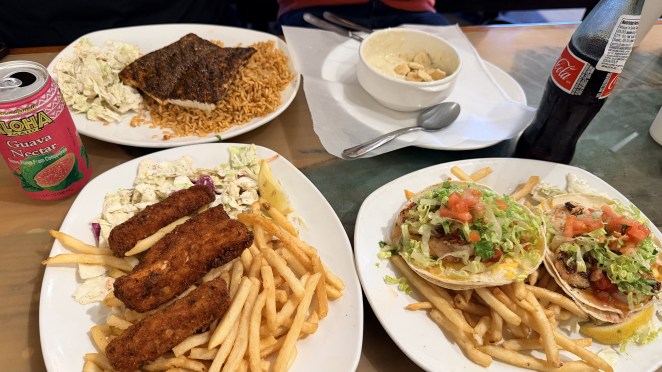
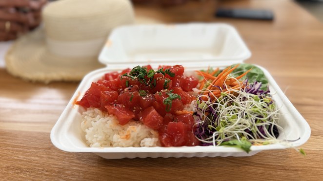
We drove on to Paʻia, the funky little surf town on the north shore, for an early dinner at the Paʻia Fish Market. Very tasty food, and a relaxed, salty-aired place to close out the trip.
That’s a wrap on Maui
Five days that swung from a freezing alpine desert to a sunken snorkel crater, from a rainforest waterfall to a fresh lava wasteland — and a town quietly rebuilding itself with hula and heart. Oʻahu showed us the busy, beachy Hawaiʻi; Maui showed us the wild, geological one. Same island chain, two very different souls.
Mahalo for reading — until the next diary.