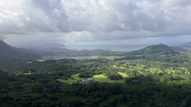
Six years after our first trip in 2019, I came back to Oʻahu. But last time, it was with my colleagues; this time it was with Shalini and Raj & Jyothi. So, this time it was special. I already discussed the geology of Hawaiian Islands and its formation in the old blog, so I will skip this time. But here’s something interesting and new I learnt this time – why one side of Oʻahu is a rainforest and the other is a desert? You’ll have noticed the windward (northeast) side around Kāneʻohe is impossibly green, while Waikīkī feels comparatively dry — and yes, your instinct is exactly right. The steady northeast trade winds push moist Pacific air straight into the wall of the Koʻolau Range. Forced upward, that air cools, condenses, and dumps its rain on the windward side — so it stays lush and green (this is called orographic rainfall). By the time the air spills over the crest and sinks down the leeward side toward Waikīkī, it has wrung itself out and warmed back up, leaving that coast sunny and dry. Same island, two climates, one mountain range doing the sorting.
Day 1 — Saturday, 23 May: Landing in Waikīkī
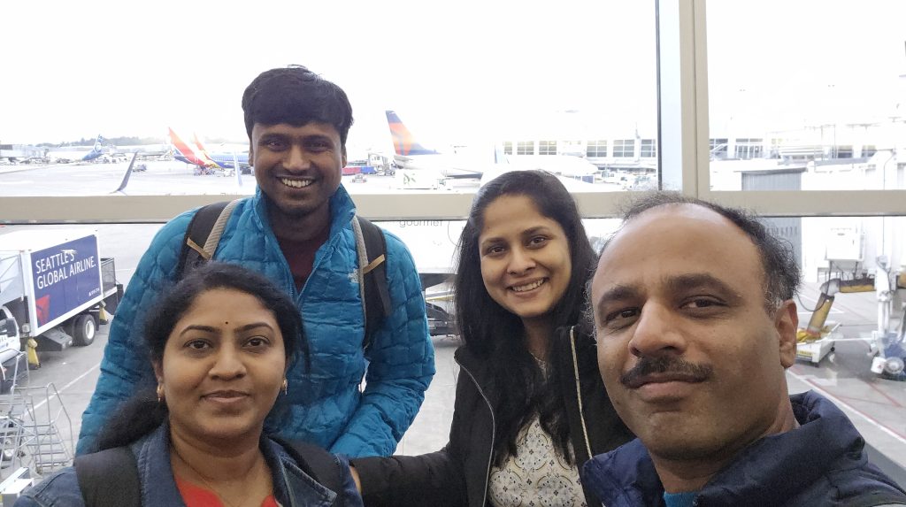
An early-morning flight out of Seattle got us into Honolulu by afternoon. We checked into our Airbnb, a short walk from Waikīkī Beach and did the only sensible thing after a tiring 6 hour flight: went straight out for a stroll.
Pro tip: Stop at Costco on your way in from the airport and load up on water. Anything you buy near Waikīkī is wildly overpriced, and it’s shockingly easy to get so wrapped up in your itinerary that you forget. We didn’t plan ahead and ended up buying expensive bottled water near the beach for our entire Oʻahu stay. Don’t be us.
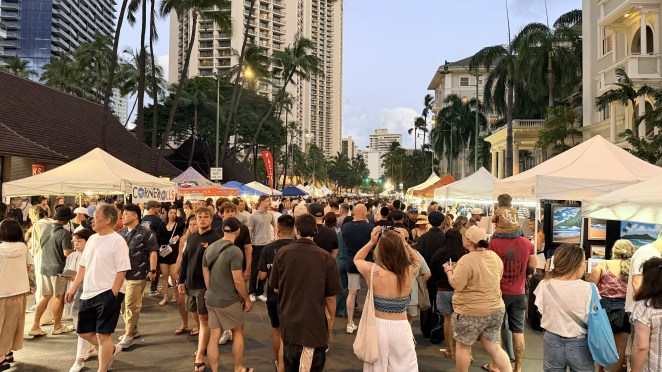
Kalākaua Avenue in the evening is a show in itself — shops, crowds, street performers, the smell of food everywhere. Because it was a Saturday, a huge street market had taken over the avenue — rows of street food and stalls. Shalini grabbed a fresh fruit juice, and we wandered until our legs reminded us how long the day had been.
Day 2 — Sunday, 24 May: Hanauma Bay and Byōdō-In Temple
Hanauma Bay
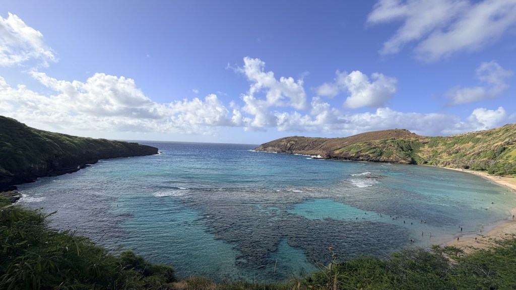
Hanauma Bay began as part of the Honolulu Volcanic Series. This system also formed nearby landmarks such as Diamond Head and Koko Crater. Around 32,000 years ago, a volcanic eruption near the ocean created a cone along the coast. Later, ocean waves broke through one side of the cone. Because of this opening, seawater slowly filled the crater leading to the crescent-shaped bay we know today.
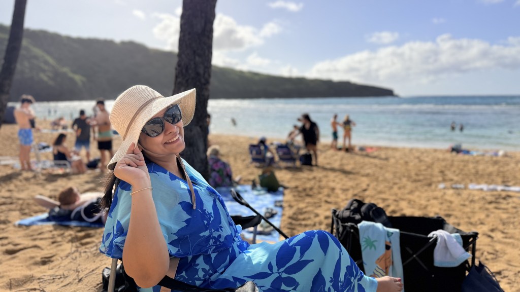
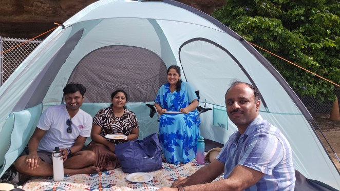
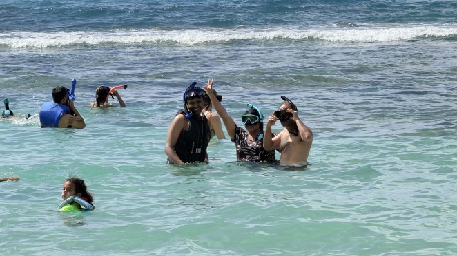
We hadn’t managed to reserve Hanauma Bay in advance, and since the preserve is closed Mondays and Tuesdays, this was realistically our only window. So, we showed up very early — around 7 am – and joined the queue for the limited “walk-up” tickets. Best decision of the trip. We pitched a little tent for shade and wore life jackets — which I’d recommend to everyone.
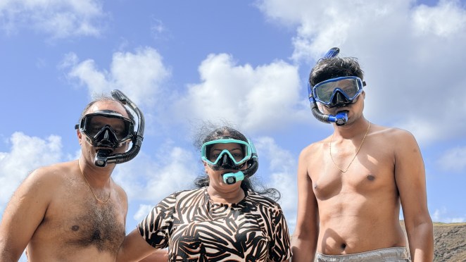
From the top, those dark green patches scattered across the turquoise looked like nothing much. Then as I lowered my face into the water, the whole world changed. Those dull patches turned into living coral, alive with fish darting in every direction. I remember the small catch in my breath, that first jolt of wonder. It was Raj’s first time too, and watching him discover it beside me made it twice as sweet. We floated there together in our life jackets, weightless, peering down at a world that had been humming along quietly beneath the surface all along. Off in one corner, a couple of seals lay dozing in the sun, utterly at peace. I didn’t know it yet, but this gentle bay was teaching us to fall in love with the ocean, one we would return to again and again in the days that followed. There are very few places on Earth where you can see coral this vivid in water this shallow and this safe.
Byōdō-In Temple: Kyoto in the Koʻolau
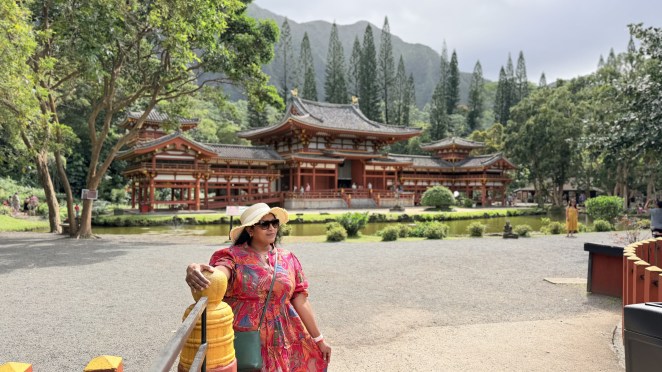
After a mid-day break at the Airbnb to rinse off the salt, we drove up the windward side to the Byōdō-In Temple. Plan to arrive well before it closes — the grounds shut at 4:30 p.m. (last entry 4:15).
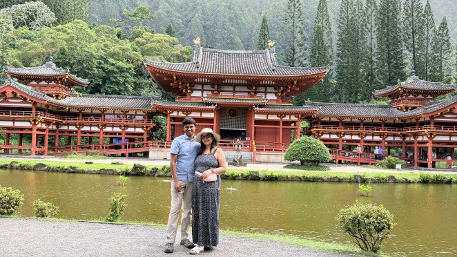
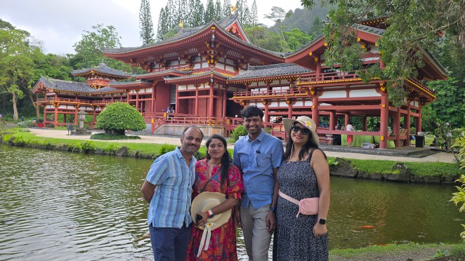
Tucked into a lush valley at the foot of the Koʻolau Range, in the Valley of the Temples Memorial Park, the temple is a half-scale replica of the ~950-year-old Byōdō-In in Uji, near Kyoto — a UNESCO World Heritage Site. It was dedicated in 1968 to mark the 100th anniversary of the first Japanese immigrants arriving in Hawaiʻi in 1868, many of whom came to work the sugar and pineapple plantations. It’s sometimes called “Phoenix Hall,” and Byōdō-In roughly translates to “Temple of Equality.”
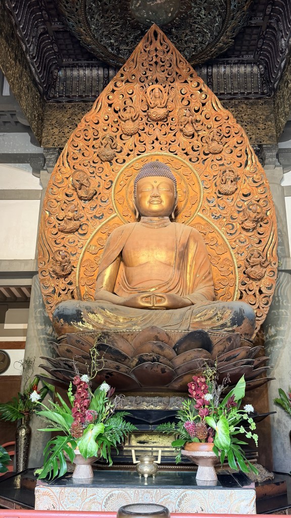
Inside sits a large gold-leaf Buddha — quietly imposing. Out front, a three-ton brass bell (cast in Osaka) hangs in its own house, and visitors are encouraged to swing the wooden log and ring it; the deep tone is said to carry peace and clear the mind before you enter. And yes — those “orange fishes” crowding the pond are koi (ornamental carp), sharing the water with black swans and the odd peacock strutting the grounds.
Nuʻuanu Pali Lookout
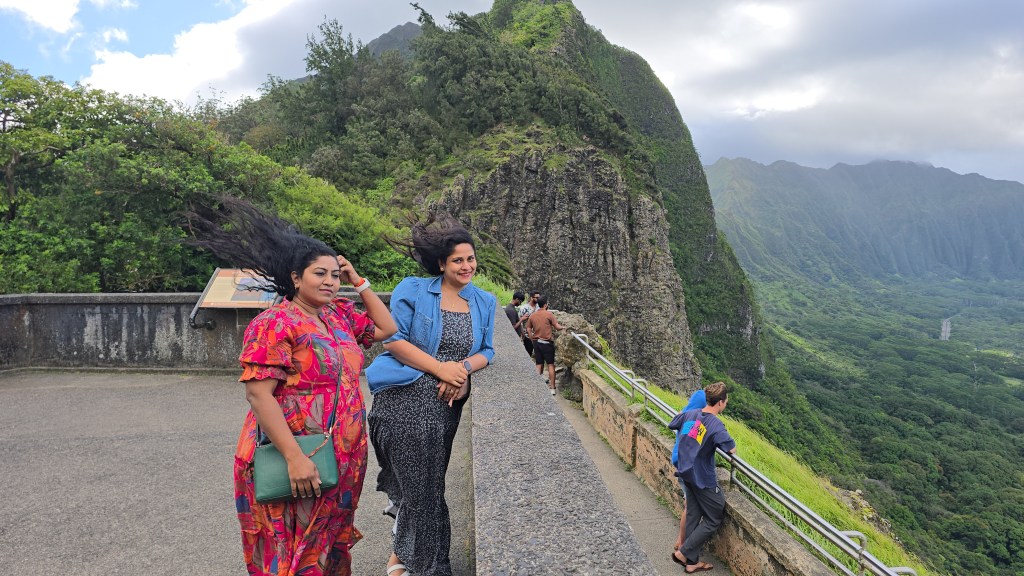
On the way back we stopped at the Nuʻuanu Pali Lookout, and it’s the perfect place to feel everything I just described. “Pali” simply means cliff, and this lookout sits in a low notch about 1,200 feet up — the most crossable gap in the Koʻolau. Because the whole mountain range funnels the trade winds through that one gap, the wind here is ferocious. And boy, we certainly felt it. It was quite difficult to stand upright. Stand at the railing and you’re literally on the divide: Honolulu at your back on the dry leeward side, the emerald windward coast of Kāneʻohe and Kailua dropping away in front of you.
Halona blowhole
We closed out the day on the windward coast at Kailua Beach, then swung by the Halona Blowhole Lookout on the southeast shore.
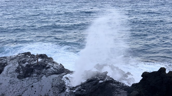
The blowhole is a lava tube — a tunnel left behind by old lava flows from nearby Koko Crater — with a narrow opening at the top and a mouth open to the sea. When a wave surges into the tube, the water gets squeezed as the passage narrows and shoots straight up through the hole like a geyser, sometimes 30 feet into the air. It’s most dramatic at high tide with strong onshore winds, when the swell has real force behind it.
Day 3 — Monday, 25 May: Pearl Harbor Memorial and North Shore
Pearl Harbor Memorial
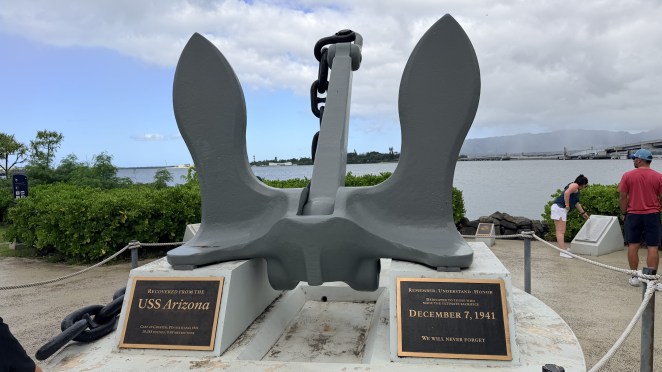
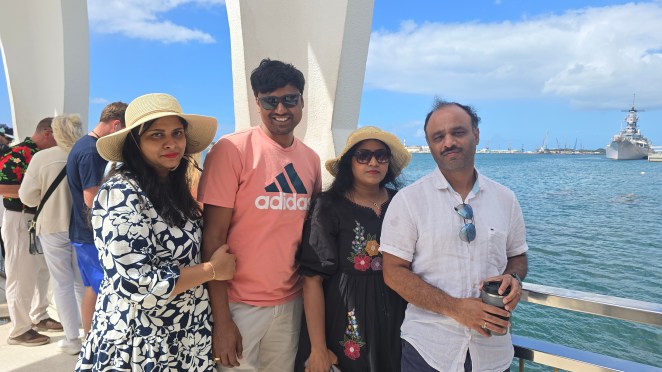
Of all the days to visit the Pearl Harbor National Memorial, Memorial Day itself is about as poignant as it gets. We’d reserved our slot the day before through Recreation.gov for the 8:45 a.m. boat — and then, of course, arrived ten minutes late and missed it. We grabbed a walk-up spot instead and used the hour’s wait to wander the memorial grounds.
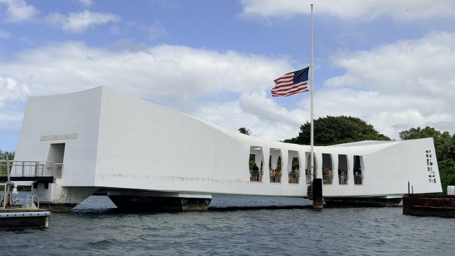
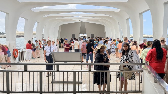
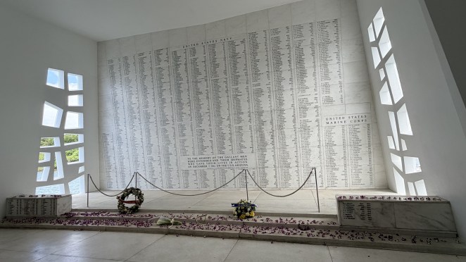
On the morning of 7 December 1941, the battleship USS Arizona was struck during the surprise attack and sank in minutes; 1,177 crew were lost, and more than 900 of them remain entombed inside the hull to this day. The gleaming white structure you visit is the USS Arizona Memorial — a 184-foot span that floats over the sunken ship without ever touching it. It was designed by Alfred Preis, an Austrian-born architect. Inside, it’s laid out in three parts: an entry and assembly area, an open central space, and a shrine room where the names of the fallen are carved into a marble wall.
A small boat ferries you out, you spend about half an hour on the memorial, and the same boat brings you back. Standing over the wreck, you can still see oil seeping up from the ship — locals call them the “black tears” of the Arizona.
It’s also, quietly, a sacred site: survivors of the Arizona are allowed to have their ashes interred within the ship to rejoin their shipmates. Dozens have chosen it over the years.
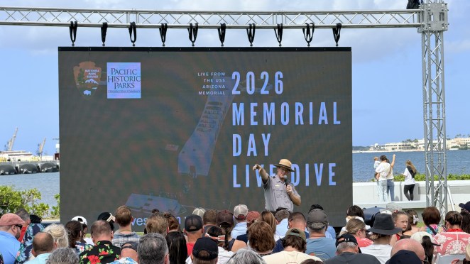
As we stepped off the boat, a live underwater video feed was being projected on a screen — divers moving along the sunken hull, showing its artifacts in real time. We sat with that for a long while, then watched a short film on the attack before leaving.
North Shore
From Pearl Harbor we pointed the car north. Lunch was the famous Giovanni’s Shrimp Truck — and I’ll be honest, it wasn’t for me. The shrimp are served shell-on, “peel and eat,” which I found tedious, and the flavor didn’t blow me away. (This wasn’t just Giovanni’s — nearly everywhere on Oʻahu did peel-and-eat shrimp.) There’s also nowhere proper to sit; a few benches, all full, because the place is so popular.
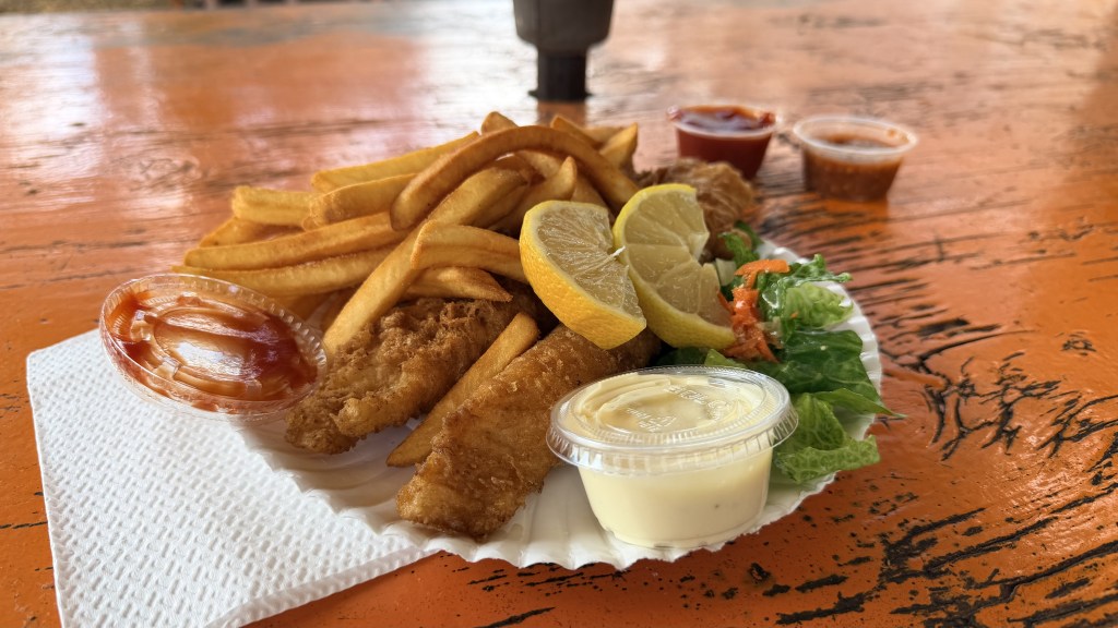
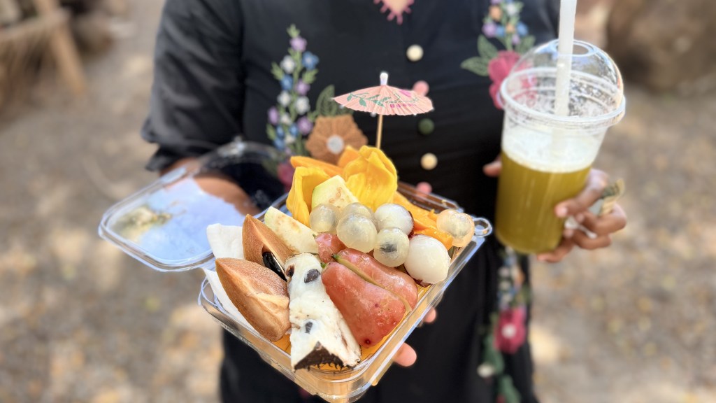
What we actually loved was right nearby: a fresh fruit bowl from another truck — genuinely fresh and delicious — plus sugarcane juice and some fish and chips. That was the real winner.
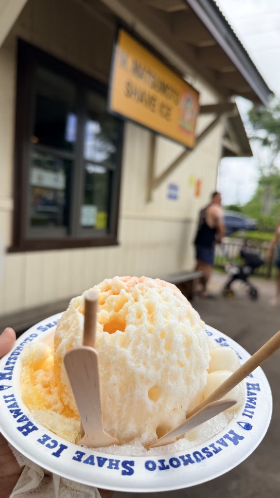
As we drove, beach after beach rolled by with surfers doing their thing. The roadside trees were heavy with tropical fruit, mango and guava hanging within reach. We stopped at Matsumoto Shave Ice (a North Shore institution — and note it’s “shave ice,” not “shaved ice,” in the local phrasing). Flavored crushed ice; pleasant, though I wouldn’t cross an ocean for it. Others clearly would.
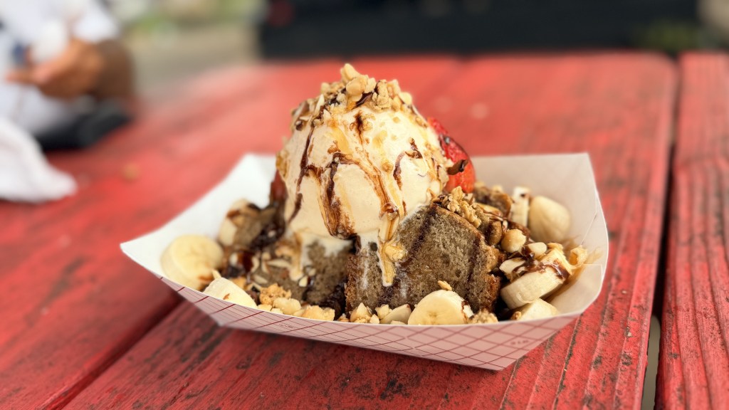
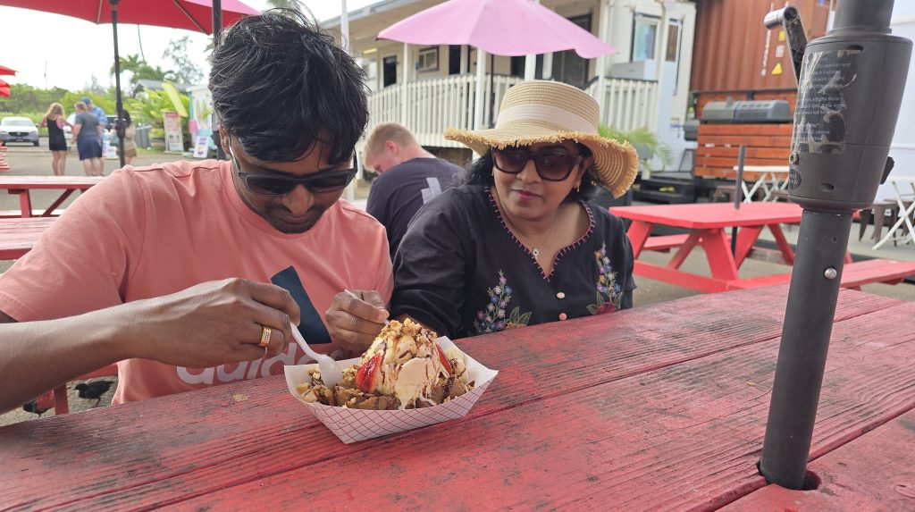
We kept cruising along Route 83 (Kamehameha Highway), stopping wherever looked good. At Kahuku, Shalini was after fresh coconut water; we never found any, but we did stumble into banana bread with ice cream that was outrageously good — and, somehow, I ended up eating most of it. 😊 Then we finished the full loop back on the 83.
Lantern celebration at Ala Moana Beach Park
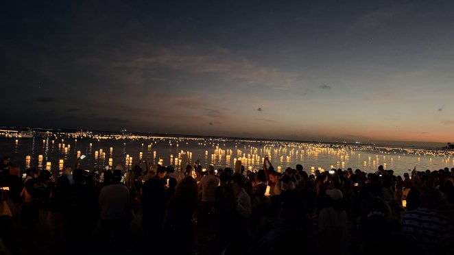
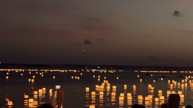
Heading back toward the Airbnb, we hit a huge crowd at Ala Moana Beach Park, just south of Waikīkī. It turned out to be Lantern Floating Hawaiʻi, the annual Memorial Day ceremony, where people write the names and place photos of loved ones on lanterns and set them adrift on the water at dusk.
It was genuinely beautiful — thousands of warm-glowing lanterns drifting out into the dark water, live music floating from a stage. What amazed us most came the next day: we passed the same beach and there was not a trace of it. Every lantern, every bit of it, cleaned away.
Day 4 — Tuesday, 26 May: Diamond Head hike and southeast coast drive
Diamond Head
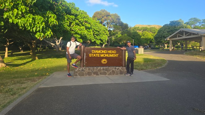
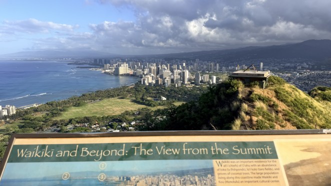
While Shalini and Jyothi slept in, Raj and I slipped out for the Diamond Head hike. Known to Hawaiians as Lēʻahi — “brow of the ʻahi (tuna),” after its profile. Its English name comes from nineteenth-century British sailors who spotted calcite crystals glinting in the rock and thought they’d found diamonds.
The summit trail is short but earns its views: roughly 0.8 miles each way with ~560 feet of climb, up switchbacks and stairs, through a lighted tunnel and past WWI-era military bunkers to the old fire-control station at the top. The park signs say 1.5–2 hours; we started around 6:30 and were back by 7:30, so a brisk one hour is very doable if you keep moving. We headed straight back to the Airbnb after.
Kona Coffee and dip in Waikiki
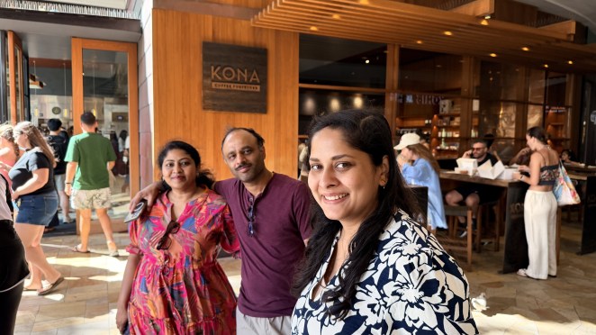
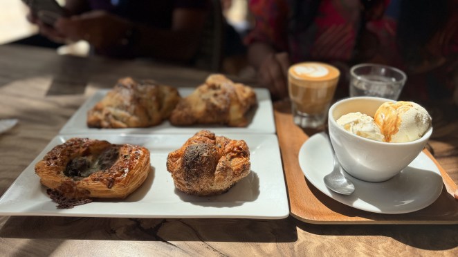
Freshened up, all four of us walked over to the ever-popular Kona Coffee Purveyors. Even at 8:45 a.m. the line was long — it took us 45 minutes — but it was worth it: a Kouign-Amann, a chocolate-banana croissant, and a cortado, all absolutely delicious.
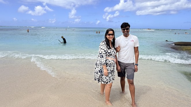
Then, on the way back along Waikīkī Beach, I did something completely unplanned: I went in. The water was so clean and turquoise and tempting that I just walked in for a quick dip — day four and I finally swam at Waikīkī. Dripping wet, I strolled back to the Airbnb (that’s the quiet luxury of staying within walking distance) and changed.
The southeast coast drive
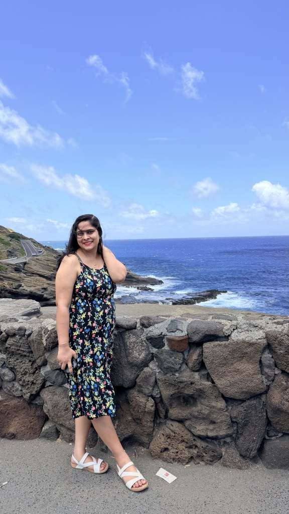
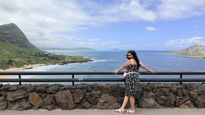
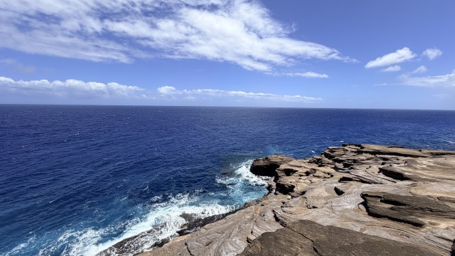
Raj and Jyothi went off for a submarine-scooter tour, so Shalini and I dropped them at the meeting point and took a slow drive down the southeast coast- just two of us. We stopped at Lānaʻi Lookout, Makapuʻu Point, and the Halona Blowhole Lookout again. The drive was mesmerizing — a well-paved road snaking around royal-blue water, white foam bursting where the swell hits the coastal rocks, green mountains rising on the other side.
Lunch was nearby at BeastSide Kitchen, then we collected Raj and Jyothi from their tour and went back to rest.
How the ocean picks its palette – turquoise vs deep blue?
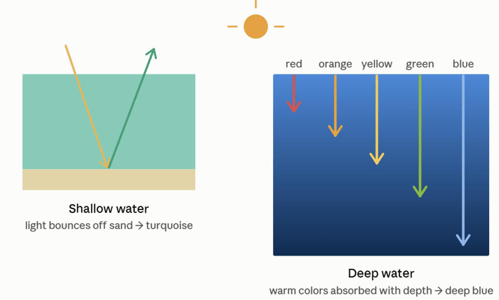
You’ll notice the water shifts from electric turquoise at the beaches to a deep royal blue off the southeast cliffs — and it’s not the sky, it’s physics. Sunlight is really every color mixed together, and water is a picky filter: it soaks up the warm colors (red, then orange, yellow, green) fastest and lets blue travel deepest. So, the color you see is whatever light survives the trip down and back up to your eye. At a shallow, sandy beach like Hanauma or Waikīkī, light only has to dip down a few feet, bounce off bright sand, and return — a short trip, so most of the spectrum makes it back and the water glows turquoise. Off the cliffs at Lānaʻi Lookout or Halona, the seafloor plunges away; light travels far, every warm color gets absorbed on the way, and only blue scatters back — hence that rich, deep blue. Same ocean, just a matter of how far the light had to swim.
Sunset at Ala Moana Beach Park
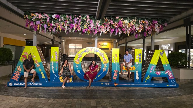
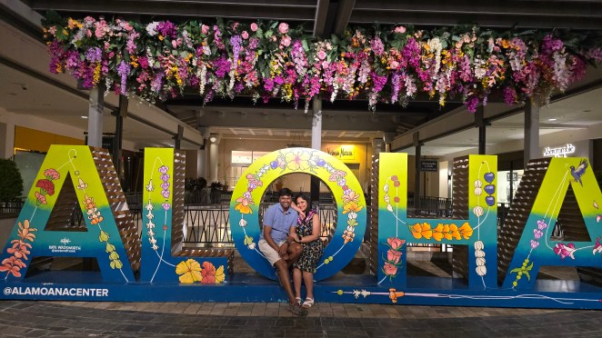
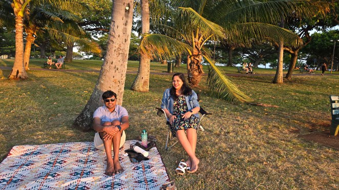
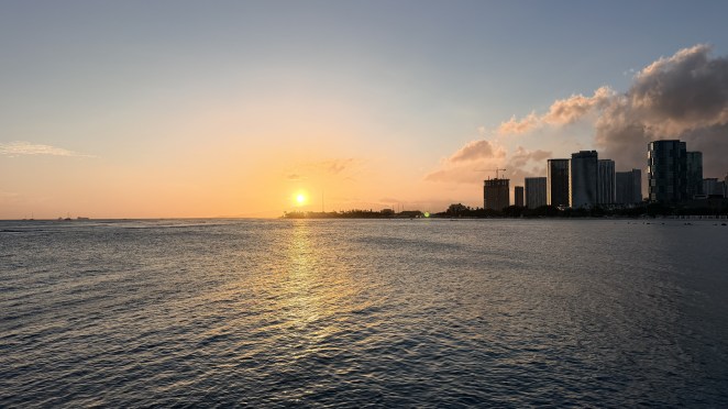
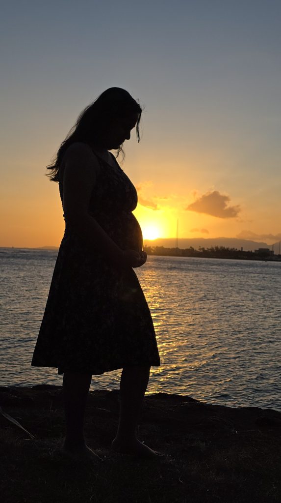
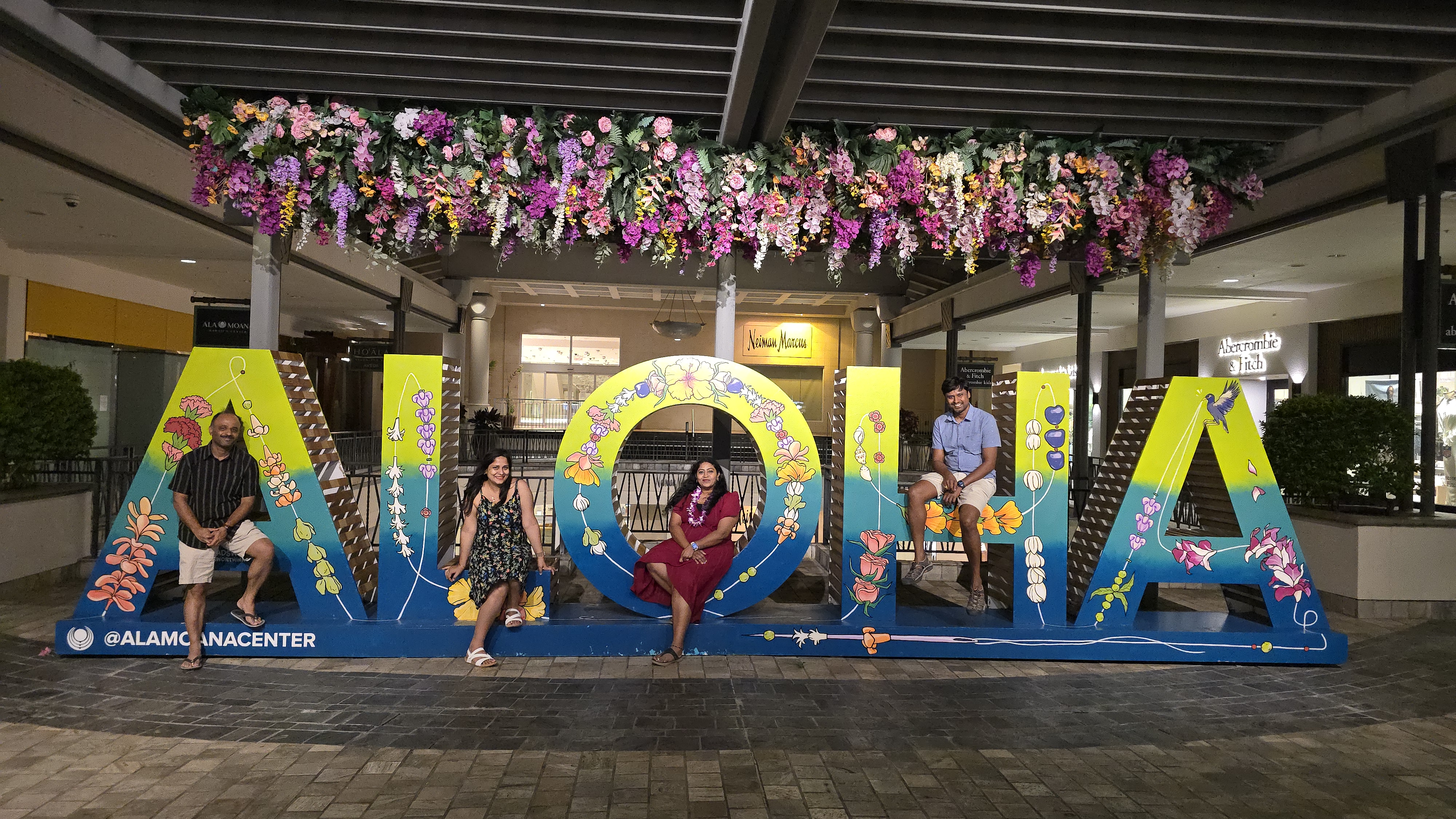
We spent the evening winding down. First, a quiet sunset at Ala Moana Beach — just watching the sun go, in silence. Shalini and Jyothi had their hearts set on a photo with the giant Aloha sign, which lives inside the Ala Moana Center. So, we all found the spot and had the clicks in front of signature signage.
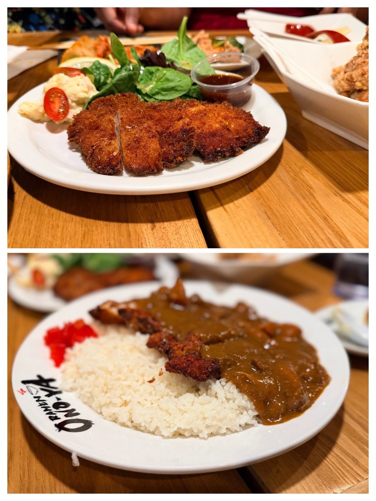
Dinner was at Onoya Ramen — reasonably priced and genuinely tasty. This felt like where locals actually eat: the whole Waikīkī zone is so overpriced I doubt many residents could dine out there regularly. The bill for all four of us came to about $55, which by Hawaiʻi standards is a small miracle. We ended the night — and our Oʻahu leg — with ice cream at Lappert’s.
Over to Maui
That wrapped our four days on Oʻahu — coral reefs, temple, memorial, crater, and beaches. Next stop: Maui.